
One of my favorite experiences about traveling is when a place suddenly finds itself occupying that special place in the soul reserved only for the Homes away from home. These are the places where any length of absence feels like an eternity, whose voice always interjects when trying to decide where to visit, and where sitting in one of its pubs you will subconsciously scoff when a family of tourists walks in (I have never done this…. yes I have!… No, I haven’t….). Over the years, this list has come to include Bruges (probably the first), the Lauterbrunnen Valley, Beddgelert, Salzburg and Munich. Vying for a spot at the family dinner table are the odd mix of London, Prague, Bastogne, and Bernkastel-Kues (or the Mosel Region in general but Bernkastel-Kues particularly at Christmas). All of these will immediately become a choir of voices whenever I sit down to plan a trip. One that has hovered on the fringes over the years is a little peninsula in the southwest corner of Ireland called Dingle. There is a time where I might have considered it a home away from home, but I have lost touch with it for a decade.


What makes Dingle special are its remote and stark beauty, just the right measure of touristy charm with quiet off-the-beaten-path solitude, a vibrant pub culture, mountains and a rugged coastline littered with haunting ruins. And Dingle has some unexpected links to both pop culture and the Age of Antarctic Exploration, the latter of which is a particularly fascinating subject for me. You can approach Dingle from a number of angles as a visitor and find some way to connect with it. A couple ways which have eluded me in the past are staying outside of its main village of Dingle and hiking its landscape. In May 2026, I returned to the Dingle Peninsula for the 3rd time to find out once and for all if Dingle belongs in that home away from home category. This time I stayed in the charming blink-and-you’ll miss it village of Ballyferriter above one of its cozy pubs, Tigh Uí Chathain, otherwise known as Kanes Bar.
With four hikes on the menu, I didn’t waste time jumping right to the main course by taking on the second highest mountain in terms of prominence in Ireland, Mount Brandon. Planning the hike to Mount Brandon was a good example of trying to assess the balance of distance vs. challenge when composing a circuit hike with an app which doesn’t take into account off-trail hillwalking. What I have learned in recent years from hiking in Scotland and Wales is that trails in the British Isles are not always defined by a documented path. You cannot account for this unknown factor with hiking apps like Komoot. Using the available routes on Komoot, for example, I was not satisfied with what I could choose from. They were either too long or forced me to backtrack. So when I started my ascent up Mount Brandon, beyond getting to the peak, I was not sure what I was going to do once I got there. What transpired was a thrilling, sometimes frustrating, briefly nail-biting, and ultimately epic hike worth every expletive along the way. And it offered me one of the most memorable breathtaking views I have ever encountered.
Hike Details
| Starting Point | Brandon Car Park (plenty of spaces available) |
| Beer Spots | Not along the route, but stopped at the West Kerry Brewery on the drive back to Ballyferriter |
| Notes | Good pair of hiking shoes. Several layers of hiking cloths due to high winds and temperatures at the peak. Warm hat and gloves. Mild fear of heights spot on the approach to An Gearán. |
It’s Not Just a Beer, It’s a Journey
The hike starts off pleasant enough from the car park. The skies look promising except for the small grey cloud hovering over the peak.
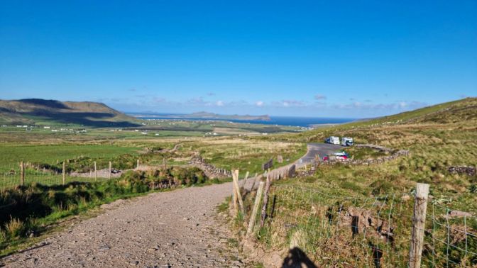
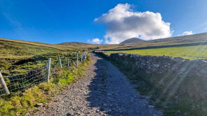
The path of the ascent is generally visible but there are cross markers along the way to keep you oriented. This route is part of the Saint’s Road (or Cosán na Naomh) pilgrimage path.
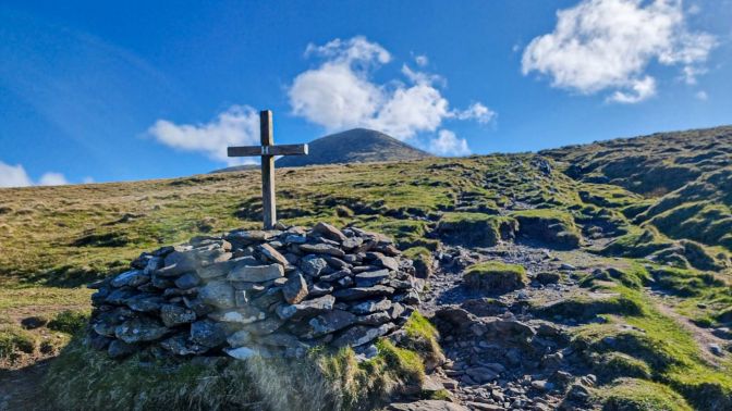
The sky was growing more and more ominous. The winds at this point were also picking up.
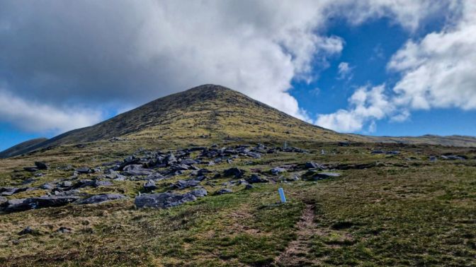
By the time I reached some elevation, the winds were torrential. I layered up to keep warm as the clouds also started to look like they would steal away the views.
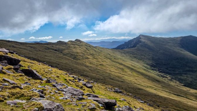
The frustrating clouds of the British Isles had arrived.
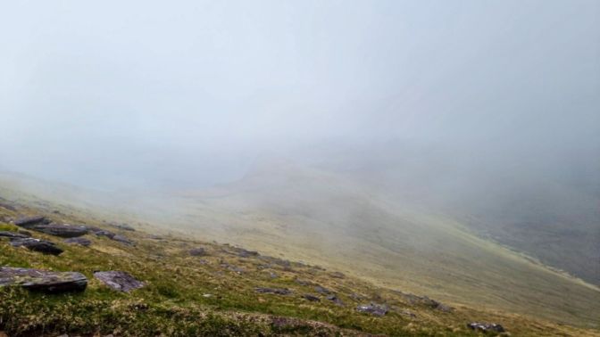
Mount Brandon is named for St. Brendan the Navigator who fasted for four days on its peak in the 5th century before embarking on his legendary journey by boat where he discovered a mythical island that became known as St. Brendan’s Island.
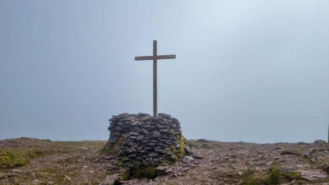
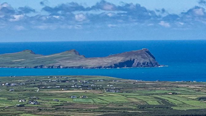
I had my lunch at the peak using a kind of foxhole of rocks for a wind barrier while trying to wait out the clouds. They lifted a little to give a hazy view of the hike I would be taking the next day; the Smerwick peninsula and the Three Sisters.
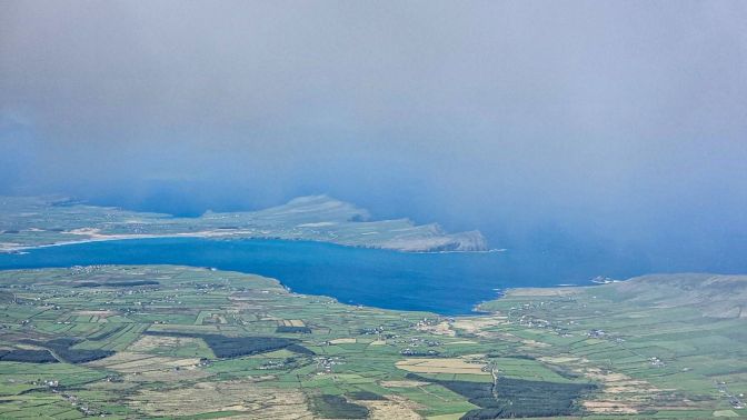
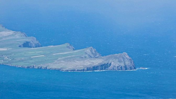
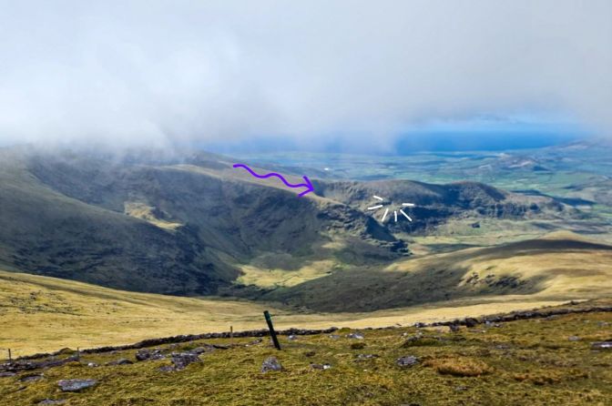
By this point, I still hadn’t decided if I was going to follow the ridge. The distance to get all the way around the entire ridge and back out to the main road to return to the parking lot according to Komoot was too far for my liking. I needed an off-trail shortcut that wouldn’t dead end or lead me to a precipice. Scanning the ridge, the dimensions and contours played tricks on my mind, but there was one route that looked promising enough to throw caution to the blustery wind. I have marked the route in the following photo along with the spot where I would enjoy my favorite view on the hike.
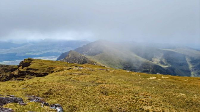
The ridge is stunning and easily the most exhilarating part of the hike.
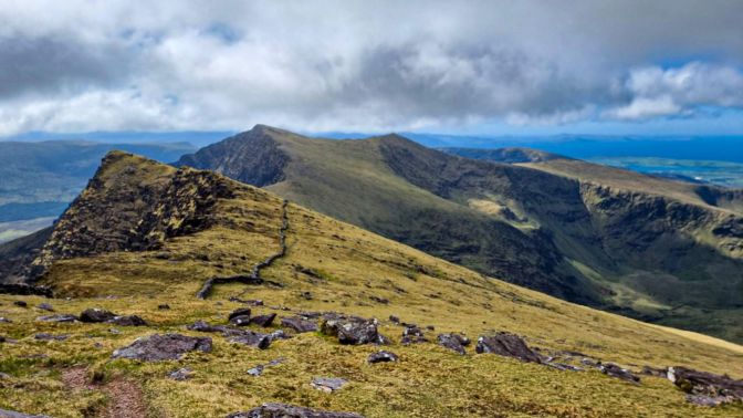
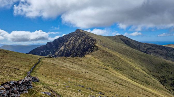
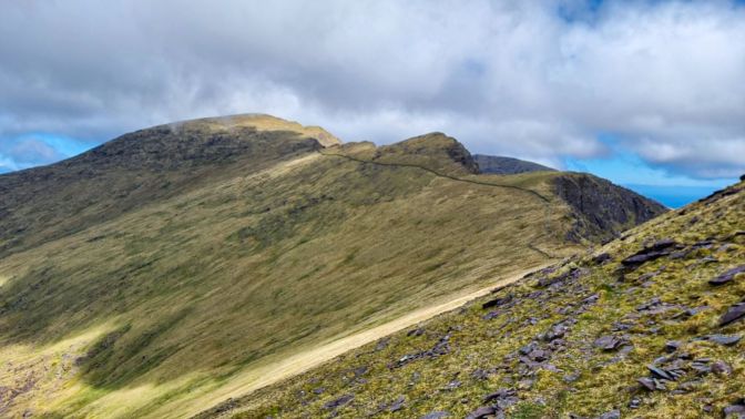
Initially, I took the wrong path and bypassed Brandon Peak. You can see that on the map. Once I realized my mistake, I had to backtrack and hike up through the heather to make amends.
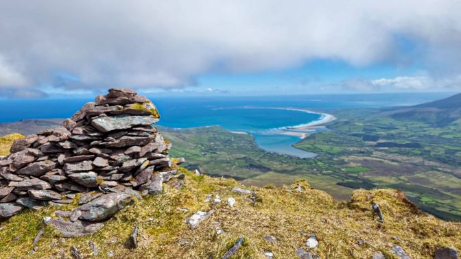
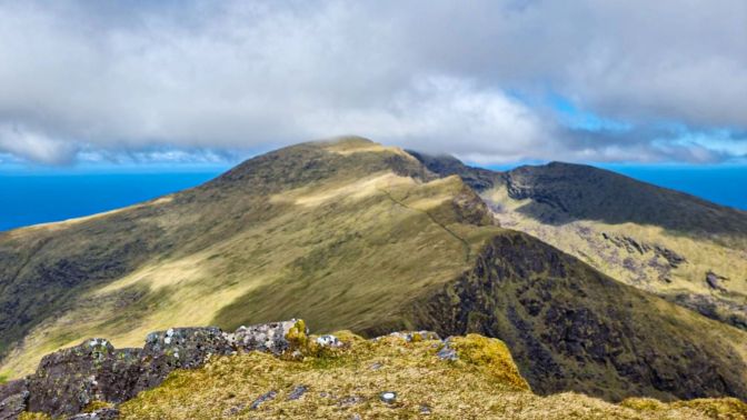
The final peak was An Gearán, also called Gearhane. Of the three peaks, this is the lowest but one that had the steepest dropoff and narrowest path. Combined with the strong wind, the exposure of the path had me using my hands along the way as I choked back a sudden rush of height vertigo.
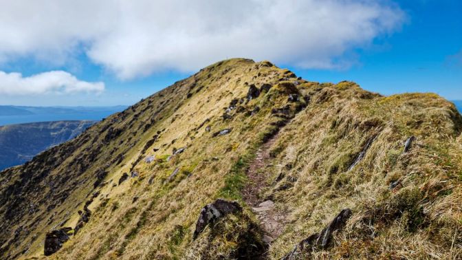
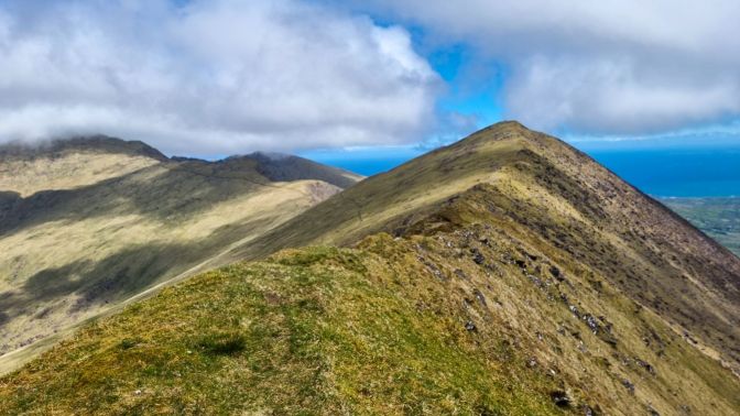
From An Gearán, the valley taunted me with its gentle and shorter route back to the parking lot. It was still not clear if I would find a way down.
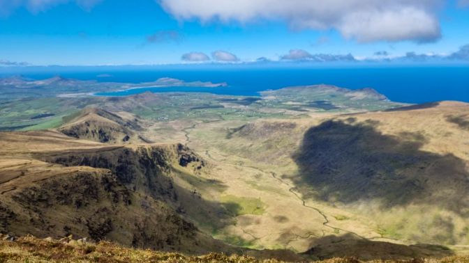
The descent from An Gearán is where a sturdy pair of waterproof hiking boots benefitted the most. It looks soft and pleasant, but it a marshy trudge down this grassy heathery slope.
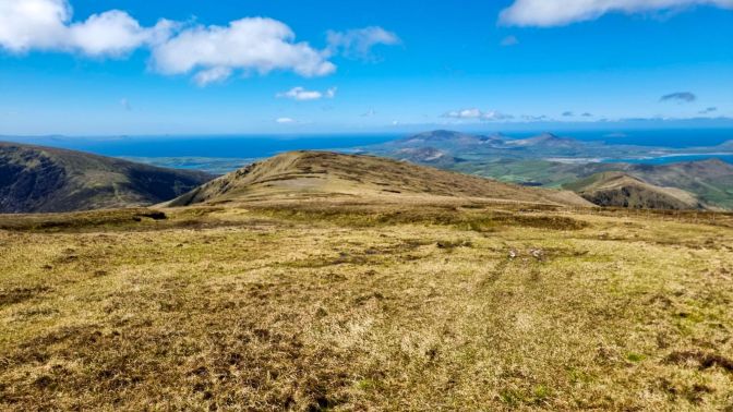
When I reached the place where I thought I had a chance to find a shortcut, I couldn’t see the entire way down, but I descended the boggy slope crossing my fingers and cursing with every boot-saving, ankle-twisting mis-step.
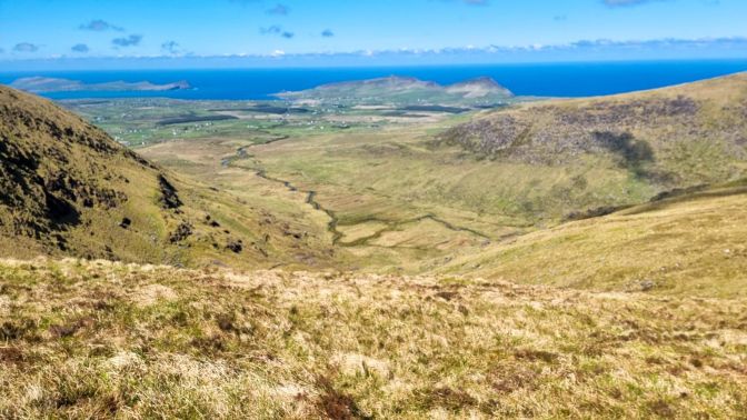
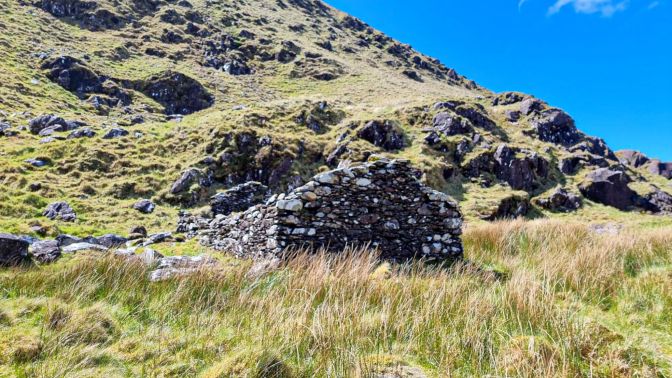
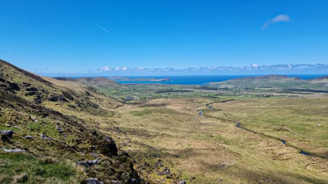
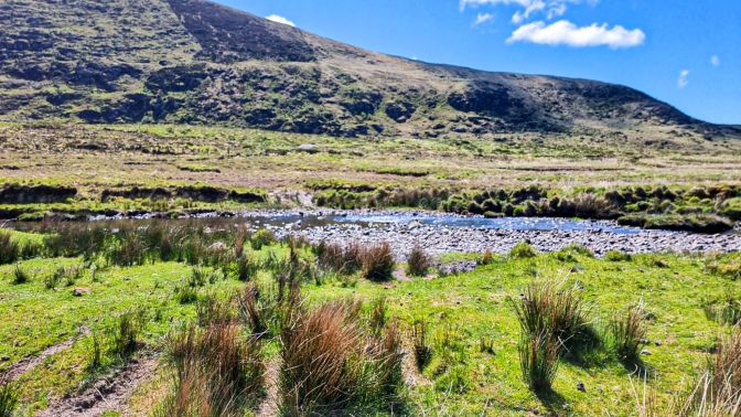
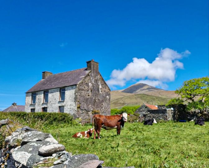
When I came into view of a hidden dell, it was clear the way down was managable. A few barren stone structures were visible indicating this once was a small settlement or mining outpost. With a big sigh of relief, I finished the descent.
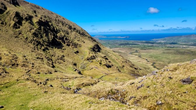
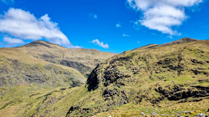
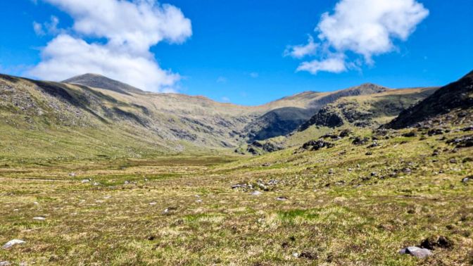
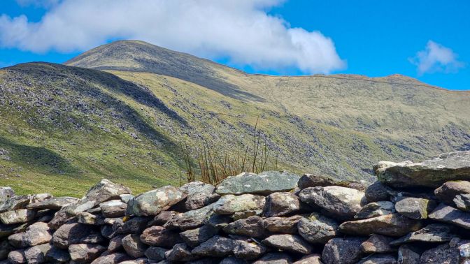
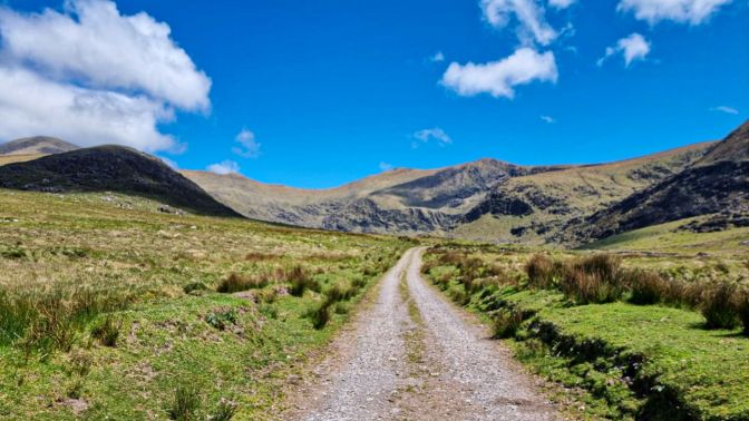
As the adrenaline subsided and the hike direction was no longer in doubt, I realized the weather had become quite beautiful. I found a rock and looked back up at the entire ridge. Mount Brandon was almost completely uncovered and blue skies were dominating. This was my favorite spot on the hike. The rest of the hike was a peaceful trek through the valley.
West Kerry Brewery
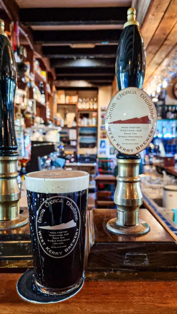
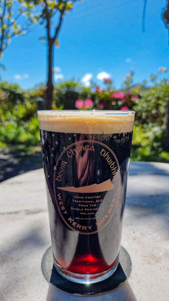
On the way back to Ballyferriter, I stopped at the West Kerry Brewery. My celebratory beer was a dark ale, which I enjoyed on the sunny terrace of the brewery as I reflected on a memorable hike.
Final Remarks
When I passed by the West Kerry Brewery the day before, I was relieved to find out that it still existed. I wasn’t sure all of the beer highlights that I featured in my Brewtiful Dingle blog post would still exist. I would come to find out soon enough that a couple were sadly no longer around. But the West Kerry Brewery, still sitting near a sharp bend on Slea Head Drive, just a few kilometers from Ballyferriter, has survived the last decade. As I sipped that ale under the warmth of the blue skies, I was already starting to get a feeling of home.



A fascinating hike, with some bold decisions. Glad it worked out! While reading this, I imagined the wonderful Irish accent you must have heard from the folks around you–an accent that I find hard to follow sometimes. But which sounds lovely nonetheless. Great trip, great post.
LikeLiked by 1 person