
“On the side over the town (Beilstein) an ascent is impossible.”
The Life of the Moselle by Octavius Rooke (1858)
It is a puzzling choice of words, impossible, written by a British army Captain turned obscure Victorian travel writer. But it brings to mind one of my favorite facets of hiking; the oft mind-bending tricks that a landscape can play on your mind. How many times have I found myself looking into the distance and wondering How do I get up there? Those moments walking through a valley or up a ravine before the trail up the mountain has decided to reveal itself, there is a thrilling moment bordering on the superposition of Schrodinger’s Cat where the hike is both navigable and impassable at the same time. As metaphorically clever as this may sound, this doesn’t quite describe hiking in the Mosel or up the hills behind Burg Metternich. Impossible it ain’t. Although, it is fair to say that some of the paths traversing the steep hillsides of the Mosel river are quite impressive and not obvious from afar how one could weave through the vineyards without hanging for dear life. Perhaps, this is the impression that the author had in 1858. As I set out for the second hike of my summer holiday in Beilstein, I had no idea that I would encounter a path named after a country where I have had several of the aforementioned dabblings in the quantum mechanics of hiking, Switzerland.
Whereas my previous hike went north from Beilstein towards Bruttig-Fankel, this hike ascends up behind the Burg Metternich castle ruins southwest to a minor peak and across to the Eisernes Kreuz overlooking the village of Senheim, then descends into Mesenich where I discovered a weingut gem before ascending thru some vineyards to return to the castle ruins via the wonderful Briederner Schweiz trail.
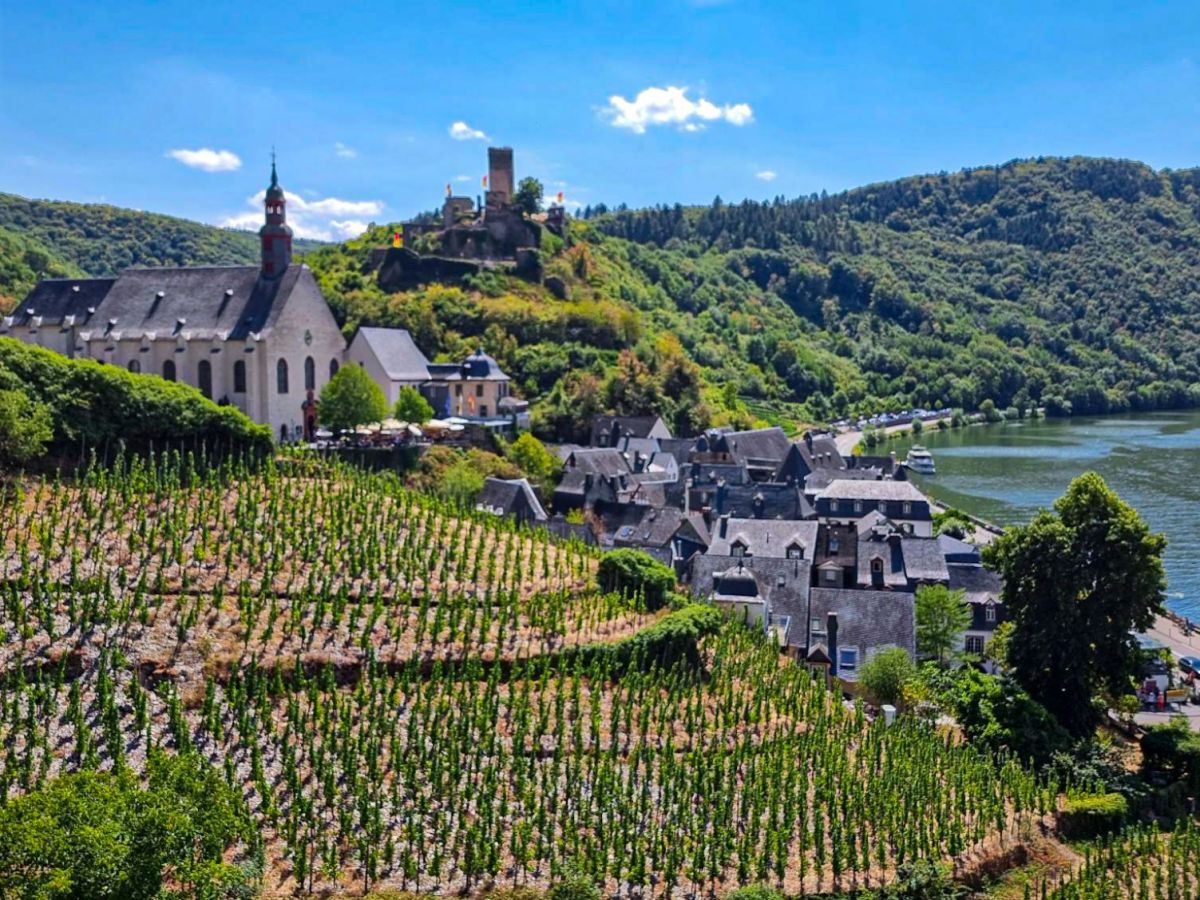
Wine & Hike: Beilstein-Bruttig-Ernst
Reaping the rewards of American public television.
Continue reading Wine & Hike: Beilstein-Bruttig-Ernst

It’s Not Just a Wine, It’s a Journey
“A narrow ridge connects the castle with the neighbouring mountains; along this ridge is a path, which conducts us through
The Life of the Moselle by Octavius Rooke (1858)
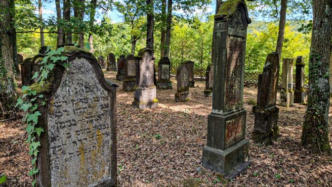
fruit-trees and vineyards to an old burial-ground, filled with tombstones with Hebrew inscriptions. Here the Jews are buried apart.”
Back in the mid-1800’s, roughly a quarter of the population of Beilstein was Jewish1. Shortly after ascending up to the ridge behind the castle, a remarkable Jewish cemetery bears witness to this fact. It seems even more remarkable that it survived World War II. It is not in a public place, so it seems plausible that either due to superstition, silent respect, or simply indifference, it was left intact.
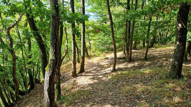
While not impossible, the first part of the hike has the steepest ascent. It takes you directly to the Schellenberg which is a modest ‘peak’ with almost no view and a small shelter to give it any kind of recognition.
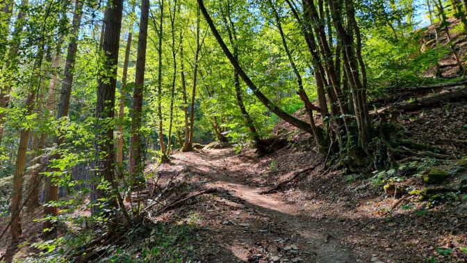
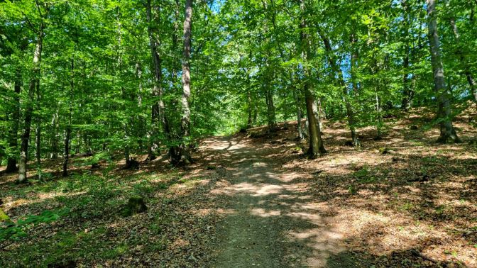
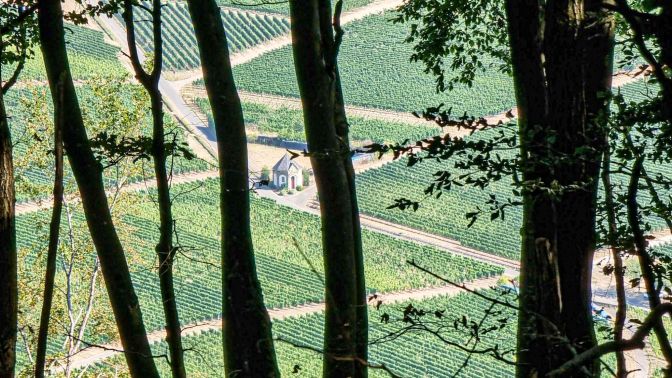
The hike then heads through the forest to a very nice clearing with a small chapel. There is a picnic table in the shade near this chapel which is wonderful for a break. I would return a couple days later just to spend some time reading a book here.
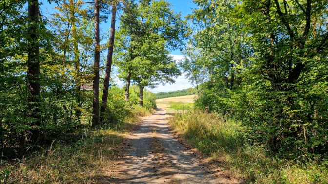
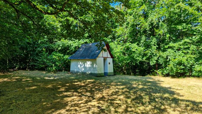
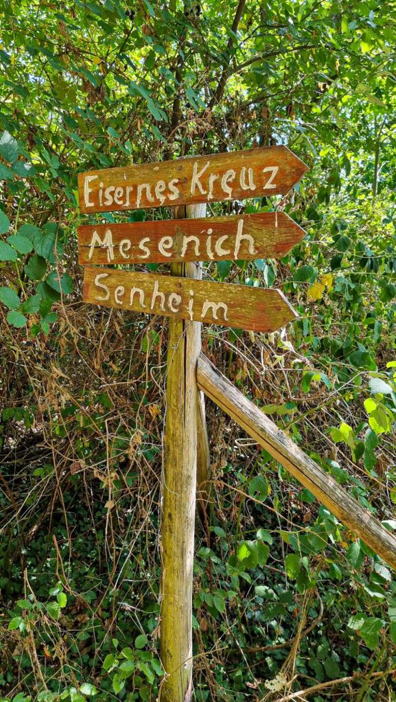
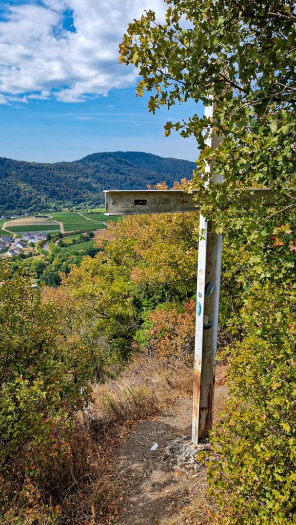
After the chapel, it is a short hike to the edge of the hills where a cross is stationed at a lookout point above Senheim and its impressive harbor.
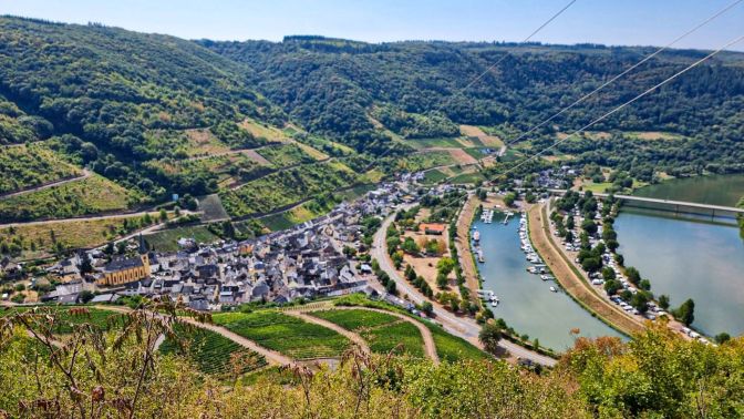
Originally, I wasn’t planning to descend into Mesenich. It was a lazy Monday, and I assumed I would only be rewarded with a ghost town. But the temptation to find a weingut was too great.
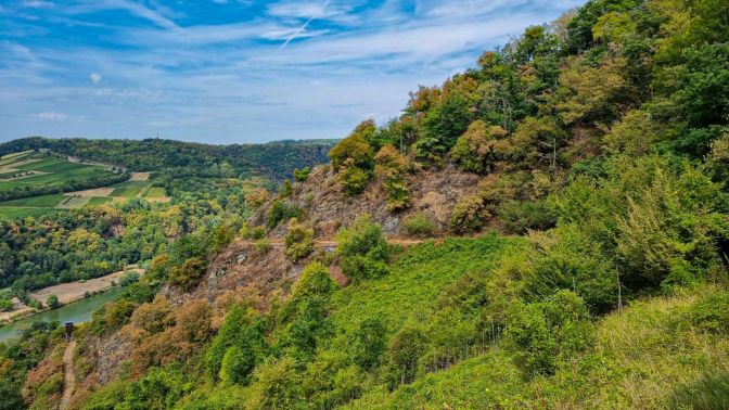
At a certain point, I made the commitment to descend where a small sign indicated a shortcut trail (called the Urbanuasteig). This sign indicated that it could be difficult for those afraid of heights. Suffering from this affliction, I was intrigued by this, but took the chance. What I found was very tame. It is narrow and steep but never very exposed; a lot of hand-holds and steps in places, whatever threat is leftover is buffered by the small trees and shrubberies around the path.
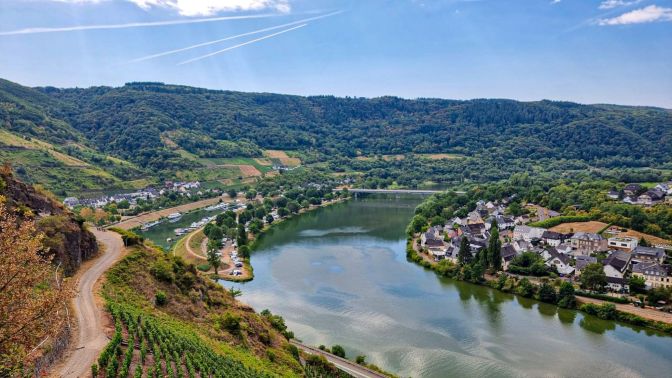
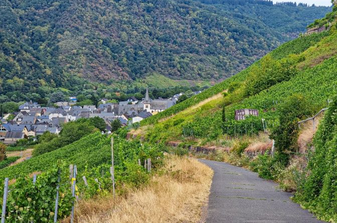
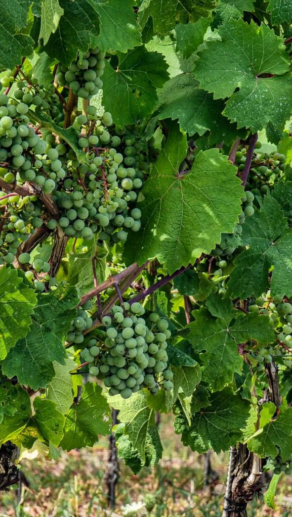
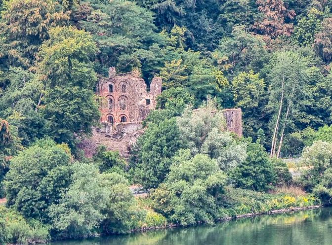
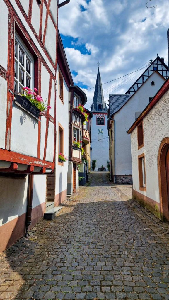
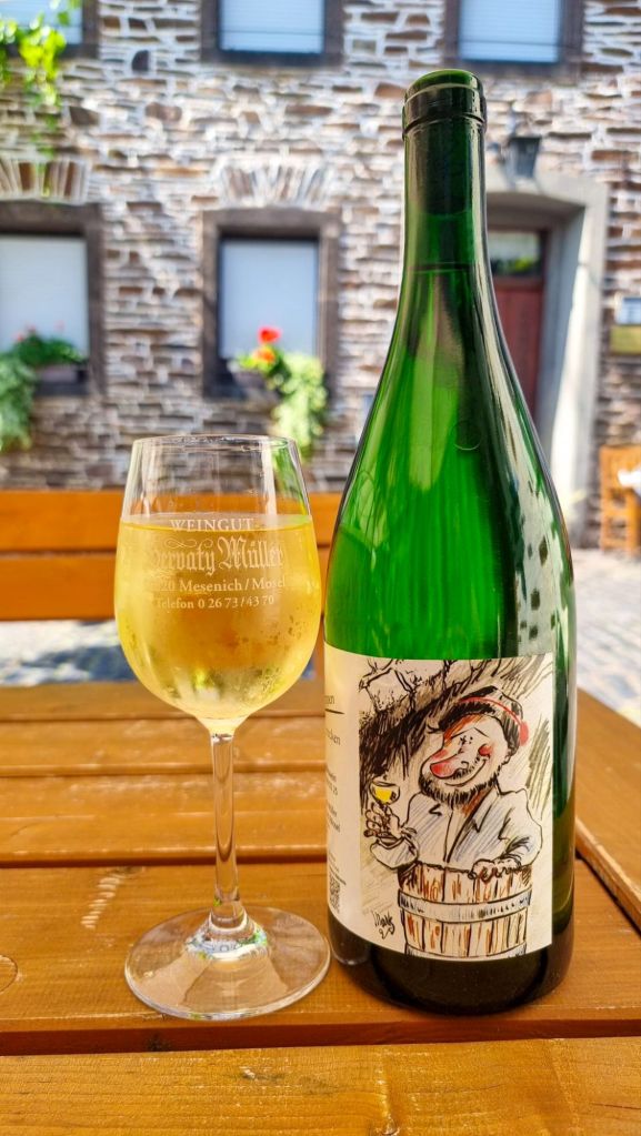
Mesenich was just as I had imagined it on a Monday around noon; not a soul stirring except along the riverfront where cyclists were pedalling by. I wandered around the quiet lanes looking for any sign of a place I could stop for a wine. Some shuttered-up weinguts offered little but an air of mystery. I turned a corner and saw some empty tables under umbrellas in the distance. This most promising of visions turned out not to be a mirage. As I reached a small square, I found a door into a cafe and was startled to feel the knob rotate in my grip and the door give way. Inside was an older gentlemen standing behind a bar in what looked to be the wine variant of a country pub. I gleefully ordered a glass of Reisling trocken and sat outside. Above the pub, a couple ladies were chatting in German when suddenly one of them tossed a bucket of soapy water down on top of the umbrellas. On a blistering hot day, it probably would not have been the worst thing in the world, but fortunately it landed on an umbrella the next table over. I gave a polite yell which caused no dent in their conversation. I shrugged my shoulders and started sipping my delicious wine, neverminding that I hadn’t had lunch yet and was baking in the heat. It did not escape me that if I had stuck to my original plan, I would have missed this experience. The Servaty Müller weingut was a jewel of my summer holidays.
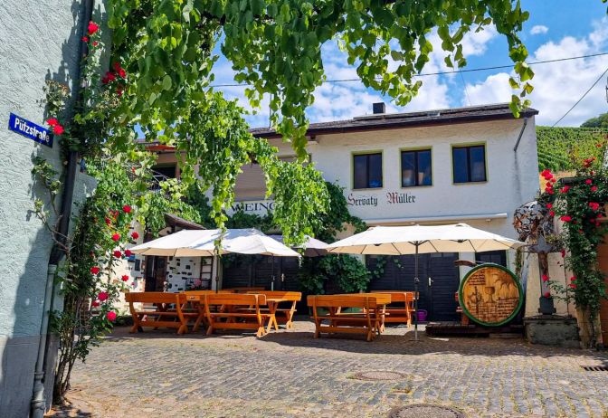
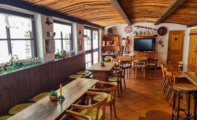
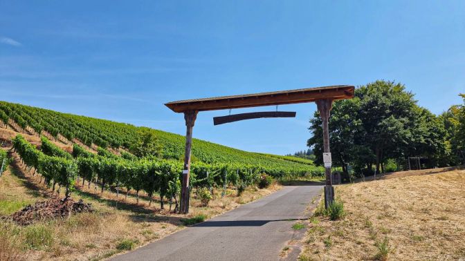
After the weingut, there was some payment to be made to the fickle Finger of Fate as I was forced to trek through the furnace-like vineyards under the unforgiving open sky as I made my way back up to the forest. Komoot led me a little off course, but once I got back on track, the rest of the hike was under the welcome canopy of trees.
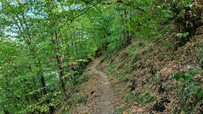
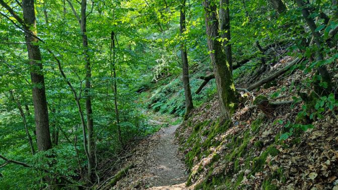
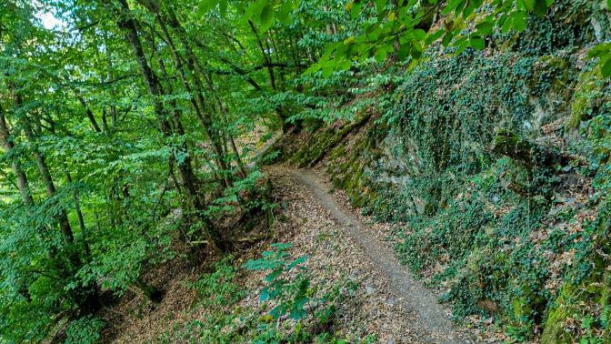
Eventually, you come to another warning sign which marks the start of the Briederner Schweiz (or Switzerland) trail. This trail runs along the steep hillside between Briedern and Beilstein. Fortunately, there were no vineyards here. On my app, this was simply my “way back”, but as soon as I entered the path, it became much more. This is a very attractive path, narrow and hugging the hillside. Due to the tree cover, it never feels exposed. It was just pure joy to traipse along it as it winds its way back to Beilstein.
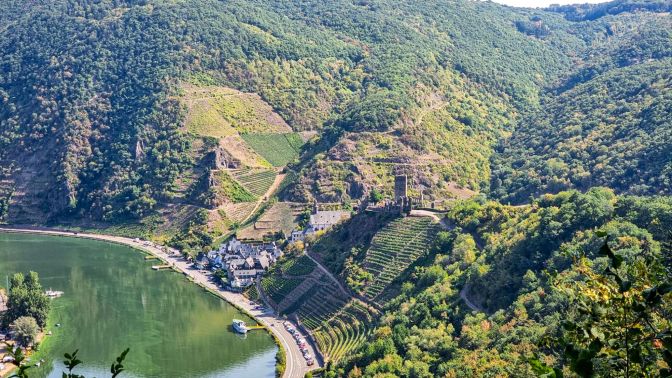
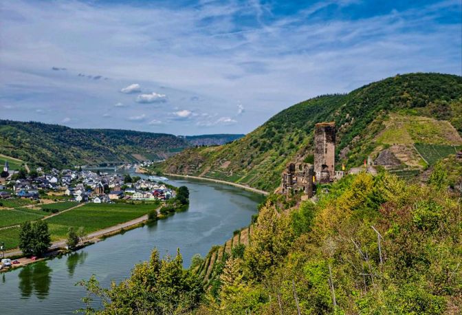
At the end of the Briederner Schweiz trail is one of the postcard views of Burg Metternich and the Mosel.
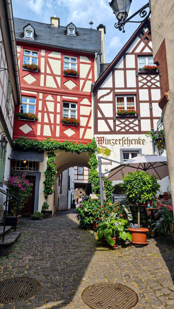
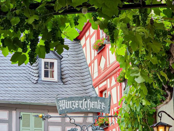
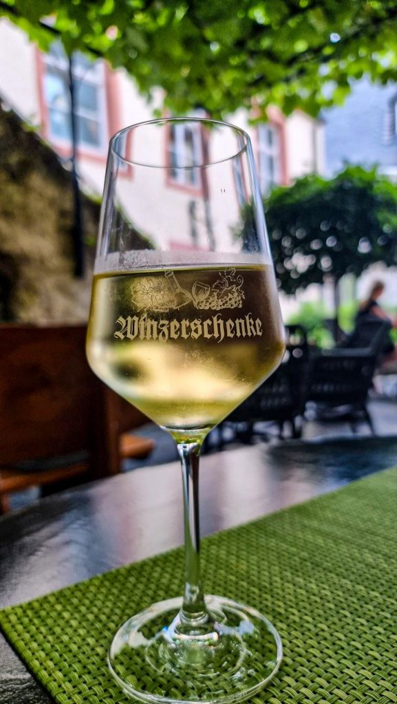
For dinner, I chose the colorful half-timber Winzerschenke which is nestled down a small alley off the main square. On a Monday, they offered only a limited menu; a couple of bratwurst and warm potato salad. After a long hike, I was famished and inhaled the plate giving me ample time leftover to sip my wine while sitting in the shade of the overhanging vines on the cozy terrace.
Final Remarks
Once again, the hiking in Beilstein country exceeded my expectations; made all the more memorable thanks to Servaty Müller in Mesenich. The ascent was not impossible but perhaps experiencing a better Wine & Hike than this on a Monday would be. Both the chapel and the Briederner Schweiz would linger in my mind for a couple days leading me to redo the hike, leaving out the Eiserner Kreuz and Mesenich and stopping in the village of Briedern instead. But first I decided to expand my radius and head up the river to the little farm town of Wierscherm where it was time to add another chapter to my most viewed blog post, Hiking to Burg Eltz.

- Rick Steves Germany, Austria, & Switzerland (2003, Avalon Travel) ↩︎


