
(Or How I Planned a Hike and Missed the Panzer Tank)
Most of the time when I plan a day hike in Belgium, I do it rather by the seat of my pants, throwing mental darts at a map or moving my eye fingers (eye fingers?) over the screen like a dowsing rod. And most of the time, I manage to concoct a hike which exceeds my expectations; unexpected encounters with history, folklore, and beer culture that when I write about them later, appear as if I diligently planned for them all along. But on some occasions, I find out in retrospect that I missed something that would have elevated my hike into the stratosphere of cool hikes. Instead, the hike gets relegated to the second tier of hikes, a reminder of my haphazard attraction to surrendipity, banished from my obsessive compulsive mind until enough time has passed and I return to put the final touches on it.
One of the latter type of hikes occurred this past Summer, when I woke up on a beautiful Saturday and had an inkling that I should do a hike somewhere near Dinant. After my eye fingers (eye fingers?) followed the twisting Lesse River from Dinant, past Chateau Walzin on my map, I could feel psychic earth vibrations in my mind as I discovered the curiously named town of Furfooz. A few haphazard clicks later, I had a hike and jumped in my car, not even considering that a beer angle for the hike had yet to reveal itself.
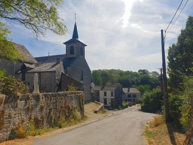
Furfooz is one of those countless sleepy Ardennesian villages that astonishes in its seemingly random sparse existence. The kind of place where the center of town essentially consists of a signpost pointing in the direction of other sleepy Ardennesian villages or towards B&B’s whose existences seem even more random. But Furfooz also has its charm, and I strolled a bit, peeking into the prerequisite decaying church before setting out on the hike.
Hike Details
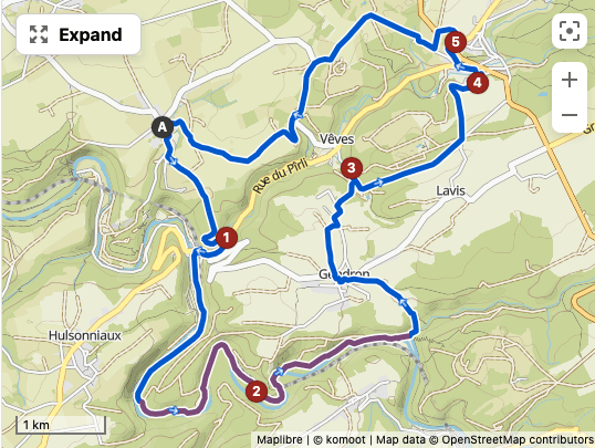
| Starting/Ending Point | Furfooz (parking along street) |
| Distance | 20.0 km |
| My Moving Time | 4h 25m |
It’s Not Just a Beer, It’s a Journey
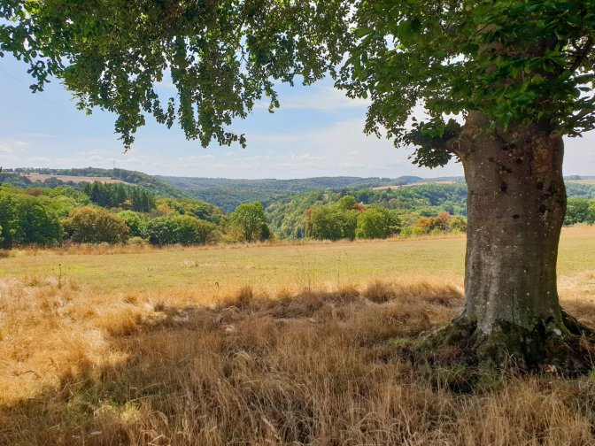
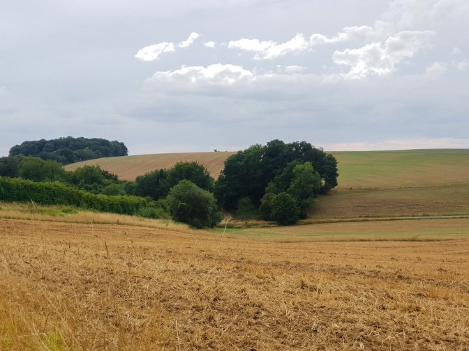
As I post the first photo of the countryside outside of Furfooz, I immediately bring to mind the fields that I just raved about in my Falmignoul-Hastiere hike. The hike that I am now recounting to you occurred several weeks earlier, and as I look at the barren landscape in this photo, which was beautiful to me at the time, I am wondering if these fields are today covered in glorious green.
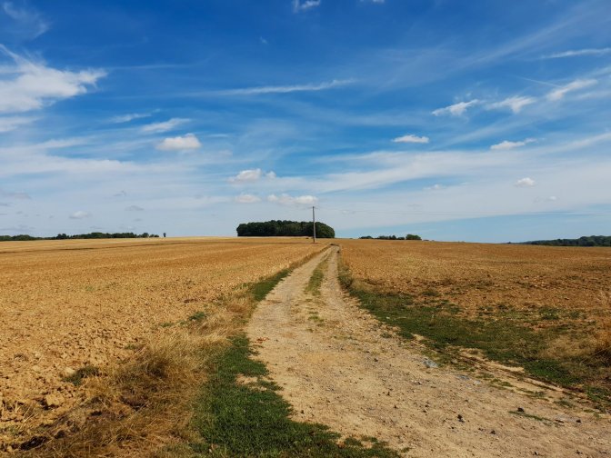
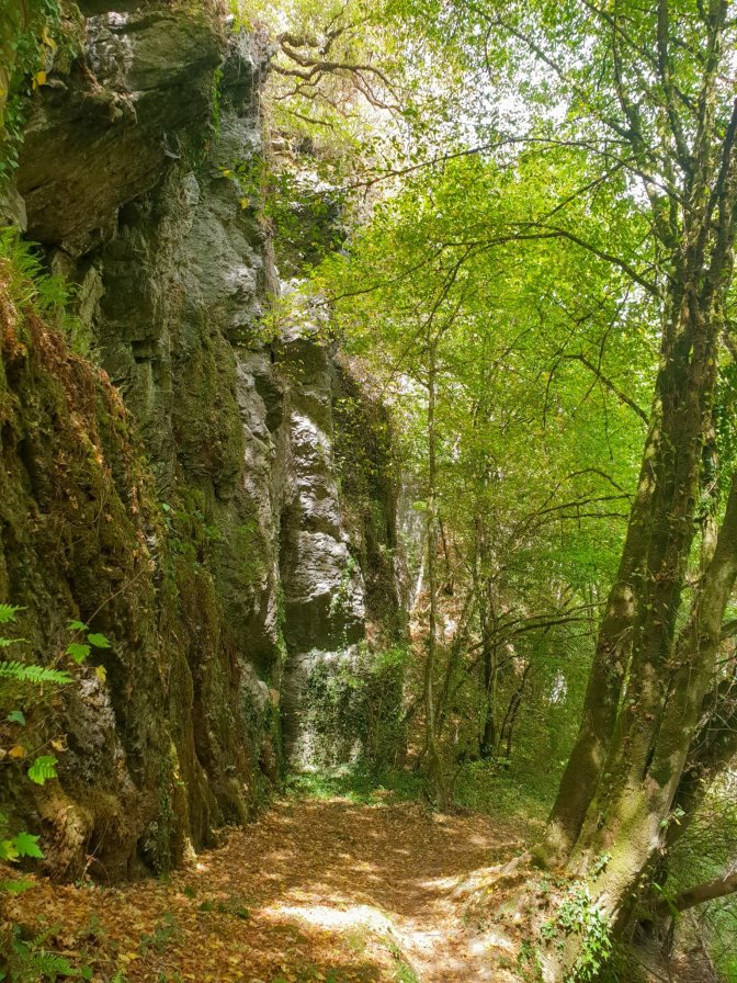
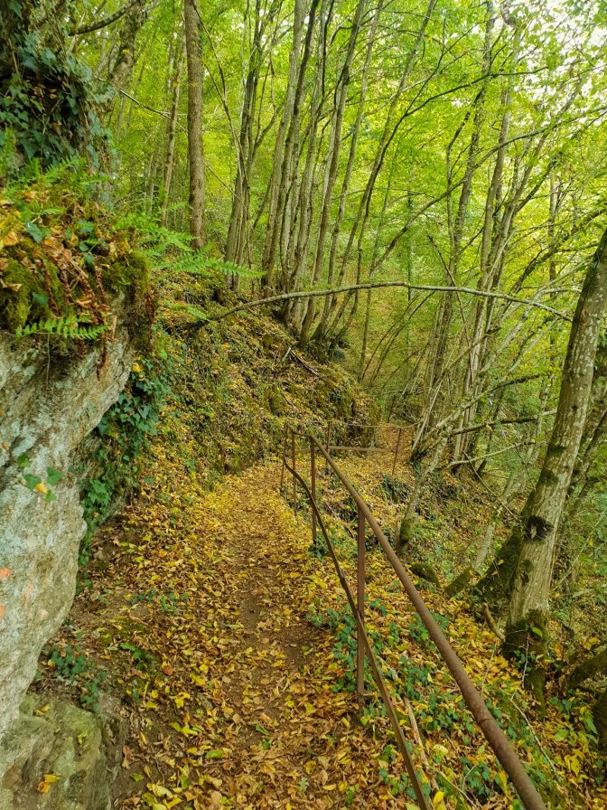
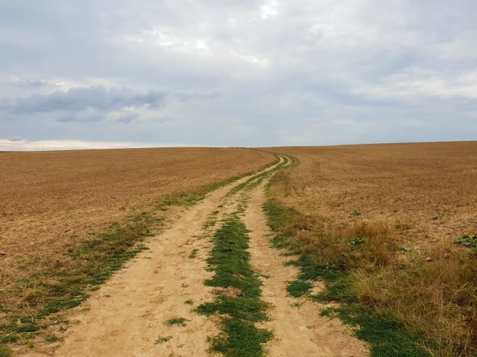
Leaving Furfooz, the hike crosses these fields with some nice views and through some forest until meeting up with the Lesse River.
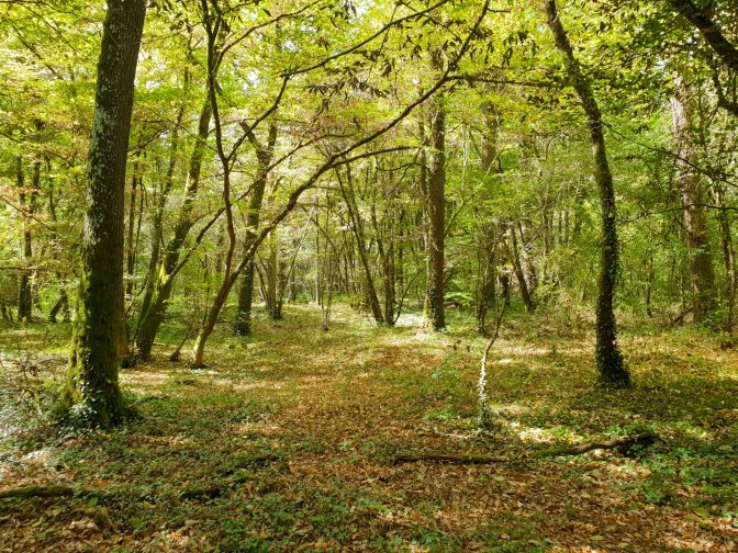
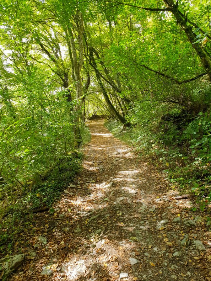
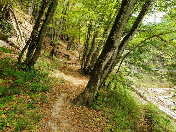
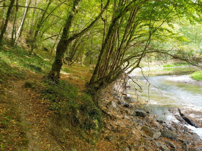
The path then follows the Lesse River and occasionally reminds me of a less grand version of the Mullerthal trails in Luxembourg.
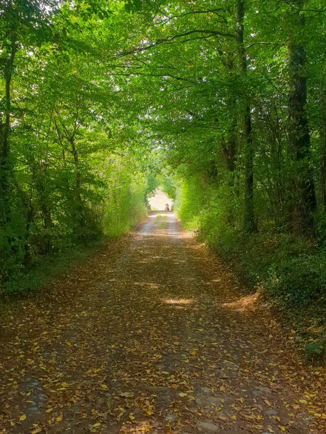
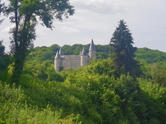
Then the hike leaves the Lesse behind and heads across land passing by the Chateau de Veves.
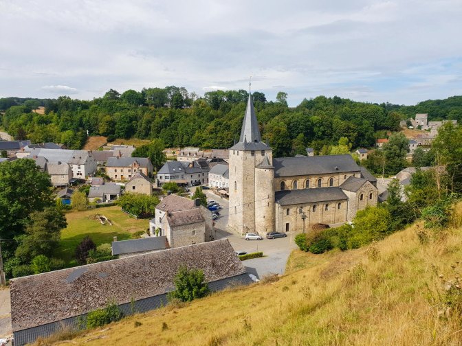
Finally we come to the village of Celles. I had no prior knowledge of the town, but when you approach it from above, you get the feeling that this is not just your run-of-the-mill sleepy Ardennesian village. First of all, it belongs to an exclusive list called the Les Plus Beaux Villages des Wallonie. Second of all… well, I am coming to that.
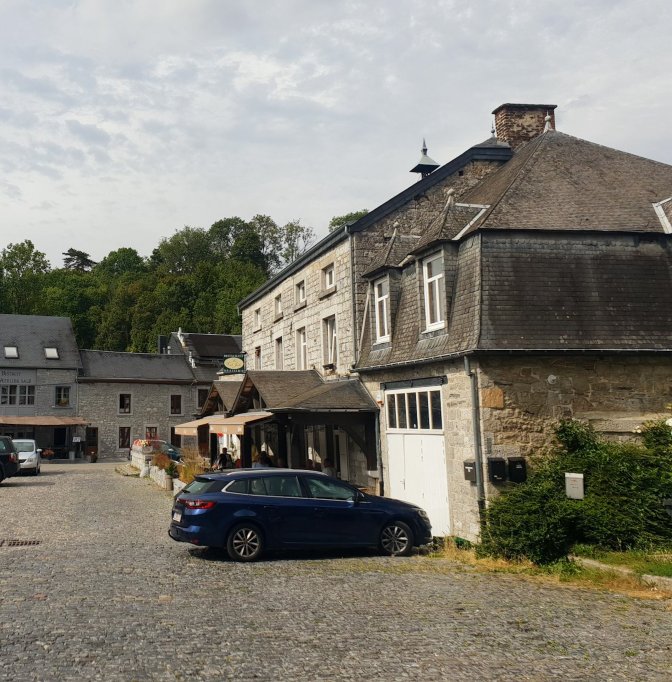
When I am doing these hikes or bike rides in Belgium, knowing how closely beer culture is linked to everything, there are always high expectations that even without planning, somehow, someway, a special beer will come forth from the heavens and appear like the Holy Grail. The one restaurant in the center bustling with activity coaxed me into taking a break and stopping for lunch.
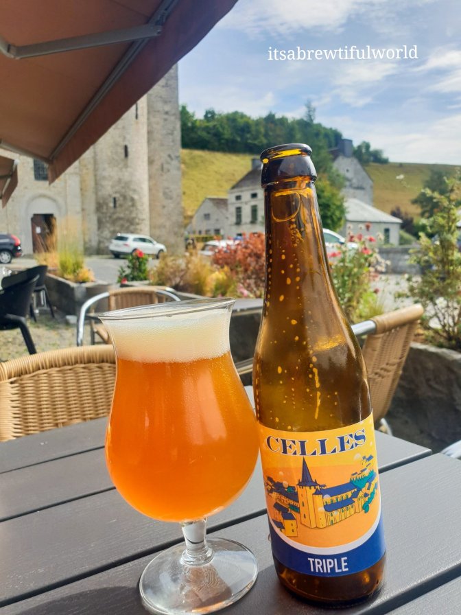
When I looked at the menu, I started figuratively doing cartwheels. I shouldn’t have been surprised, but Belgian beer culture never ceases to amaze me. The universe sent me a “city beer”.
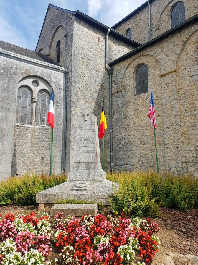
Next door to the restaurant and beside the church is the local war memorial. It just so happens that the second thing I was going to mention is that Celles is regarded as being one of the farthest points that the Germans got in the Battle of the Bulge.
Filled with delicious Celles Tripel and whatever it was that I ate (that was good too) and satisfied that I had fulfilled my Battle of the Bulge quota with the Celles War Memorial, I blissfully followed my half-assed map all the way back to Furfooz. Blah, blah, blah…
What an ignorant fool I was.
Final Words
There isn’t much written about Celles on Wikipedia. It is not regaled with anecdotes of Charles V or even a sprinkling of the Four Sons of Aymon legend. It seems to have one historical claim to fame and that being the aforementioned Battle of the Bulge trivia. And that was when the pedestal I was putting this hike on came toppling down. The above war memorial is not the extent to which the Battle of the Bulge is commemorated in Celles. No. If I had just gone another 100 meters to the right as I obliviously beer-buzzed my way back to the trail, I would have discovered the cooler Battle of the Bulge memento. A preserved German Panzer tank. That’s right. It is right there on the Traces of War website. It is located at Point #5 on the map, which I have dutifully updated just for you, the reader. But I completely missed it.
So I am sulking. I want to say that the Celles Tripel is enough to make up for it. I am debating. Tomorrow I may feel differently. And weeks or months from now, when I am feeling the nostalgic pull of retracing old steps, I may make it back to finally finish this hike the right way. Until then, I doubt I will change. There is a good chance I will hike next Saturday, and an even better chance that it will be planned during Saturday breakfast. And if I miss something cool, you will hear about it.


Eye fingers? 😂 Great post, Matthew.🔝
LikeLiked by 1 person