
Preface
The first time I arrived in Schönau am Königsee, Germany was November 2014. It feels like a lifetime ago. The half selfie that I took of myself on that trip is probably what is causing me to wax sentimental here. Feel free to skip ahead to the actual hike details. I was still hiding the greys back then, wearing a scarf more to comply with the European dress code then anything, and donning a pair of athletic sunglasses as if I was some rugged mountaineer.

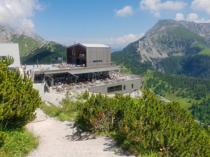
I hadn’t yet fully become smitten with hiking and it was a year and half before the birth of itsabrewtifulworld. I had arrived by bus from Salzburg looking for a little outdoor adventure. My idea of outdoor adventure at the time was utilizing cable cars up perfectly hikeable mountains like the Jenner mountain, an 1874m tourist playground overlooking the beautiful Königsee. I came to the area hoping to visit Hitler’s Eagles Nest but it was closed for the season.


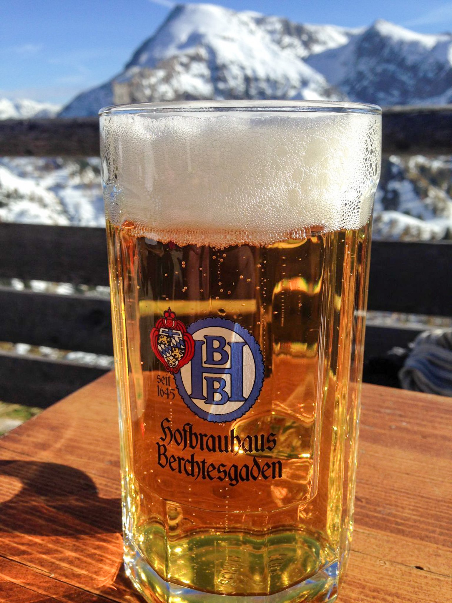
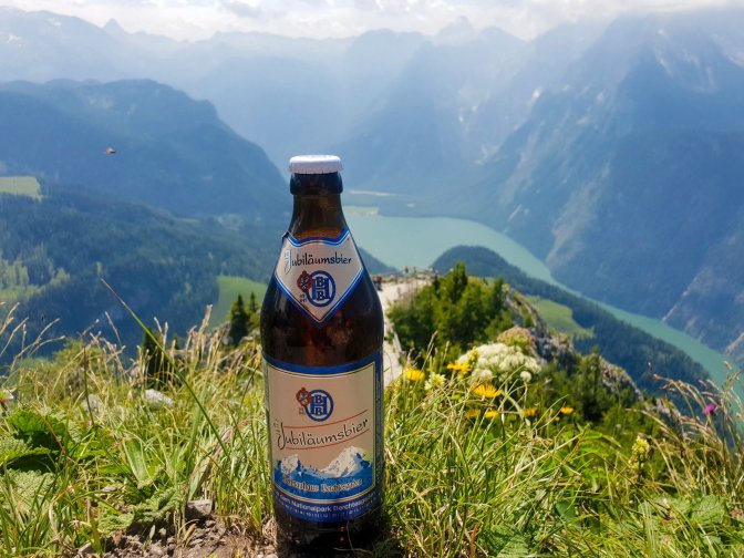
At the summit restaurant, I rewarded my strenuous efforts of sitting in a cable car with two Hofbräuhaus Berchtesgadener beers long before they were the subject of my Beer & Hike blog research.
In the fateful July of 2016, this blog and my love of hiking would take off, although in a sputtering way as my first significant hike also started with a cable car ride up. For years I had vowed to right this wrong and hike my way up the Jenner, and in July 2021, I finally had my chance.
Hike Details
| Starting Point | Schönau am Königsee |
| Ending Point | Jenner summit (return by cable car) |
| Distance | 12.7km |
| My Moving Time | 3h 36m |
| Ascent | 1350m |

It’s Not Just a Beer, It’s a Journey
The Jenner is a tourist mountain. If you wanted to push a baby stroller from Schönau all the way to the cable car station near the top, you could do it. In fact, I passed several that were doing at least part of the journey down. So using Komoot, I looked for alternative paths to enhance the difficulty level of the hike and also get away from the baby strollers. Using any hiking app, even a great one like Komoot to find “off the beaten path” routes is sometimes a double-edged sword as I would find out.

At this point in the hike, I really was looking for one of those alternative routes. On my Komoot map was an intriguing peak called Königsberg. I asked a couple hikers if they had any information about it. I was only met with puzzled looks like what kind of idiot would want to go that way? If I were to take that path, it would bring me around another way to the top. However, on the map it was a dashed line which meant that it was really off the beaten path.
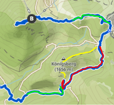
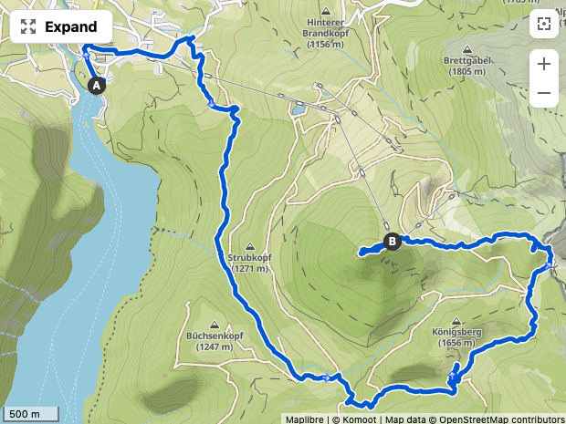
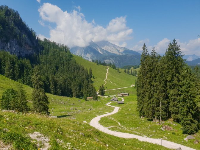
Where I have marked my route in green in the bottom of this map segment is where I got off the main route. This section was my favorite of the entire hike. Rather than a well-groomed path suitable for strollers, it was a double track alpine road which eventually led to a remote farm. I love these kinds of routes and at that moment I was all-in with trying out the Königsberg detour.
When I reached the part of the map I have marked in red, I was confronted with this view.

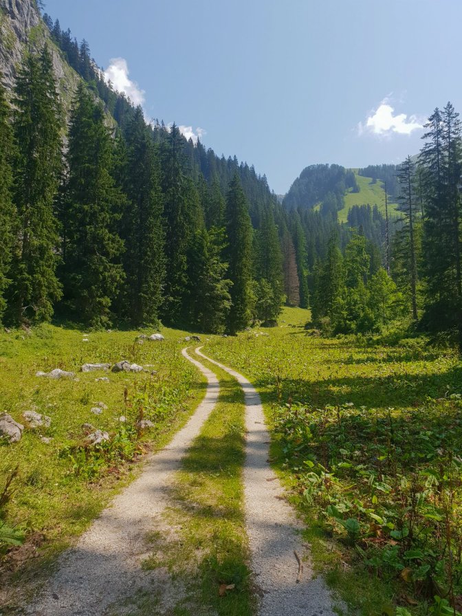
The path that was supposed to lead up to the Königberg did exist but it crossed into a fenced grazing area and was unpassable. So it was either forging straight ahead or turning back. Even though my app showed there was a trail thru the valley, what I could see was just a field of grass. It looks like a soft comfortable consistent field of grass, like you could Sound-of-Music your way across it. But it was riddled with mini streams from recent rainfall. It was wet, muddy, goopy, manure-ridden grass. The closest thing to a trail was the fence line which stretched most of the way across the valley. An electric fence to be exact. I was already imagining being half way across the valley, hearing a gunshot from an angry rancher, and instinctively grabbing the electric fence while standing in a pool of wet muck. But I saw little choice. 20 minutes or so later, my shoes were a mess, but I was safely across the valley. Where I did indeed finally find a trail.

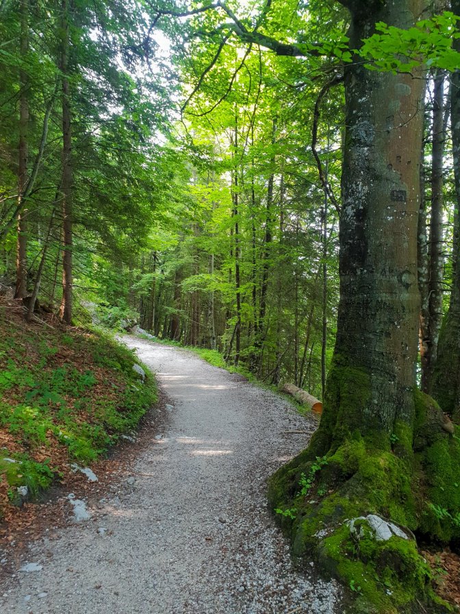
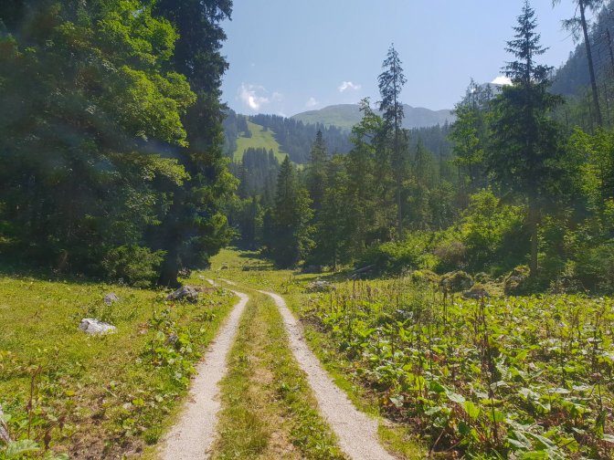
It doesn’t look like much, but believe me it brought great relief despite realizing I had no tick spray. Bear with it and eventually you come back to the main route and a couple huts, the one furthest up is the Carl-van-Stahl-Haus. When you reach the hut, you are crossing into Austria.
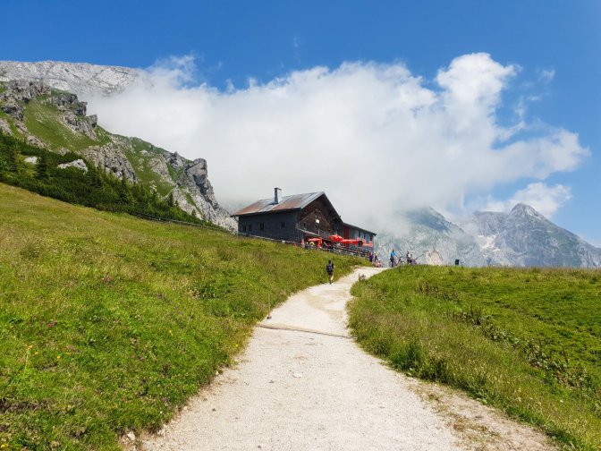
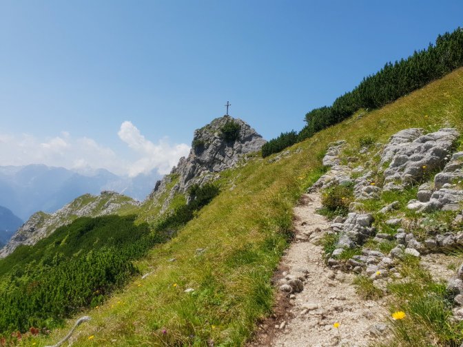
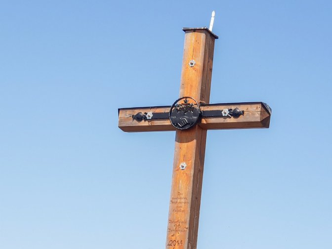
Avoiding the temptation to stop for a beer at the Carl-van-Stahl-Haus, I passed it by and continued on to the Pfaffenkegel, a minor peak with its own gipfelkreuz.

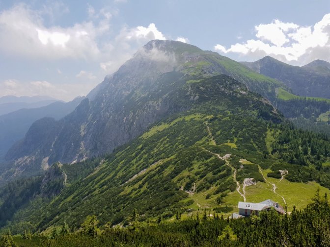
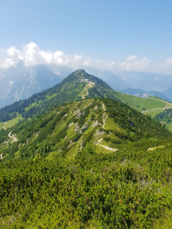
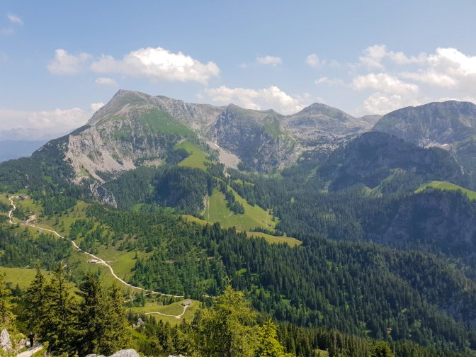
After the Pfaffenkegel was another stretch of trail that I really enjoyed and I marked it in green also on the above map. This is where you get the best view of the Jenner summit.
After meeting back once again with the main route for the final ascent, a Northern Checkerspot decided to hitch a ride.

Final Words
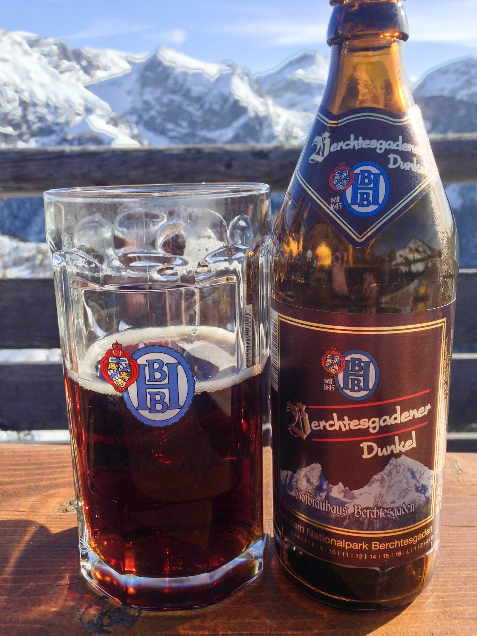
Almost seven years later, I had finally done Jenner mountain the itsabrewtifulworld way, which I guess is like making something more difficult than it has to be while hauling unopened beer bottles on your back. Nevertheless these adventures are always memorable, especially when there is a schmetterling appearance. As I looked out over the turquoise Königsee, I was not basking in the hike or comparing it to the time that I redeemed myself by hiking up the Schilthorn. I was only thinking that I need to get this damn beer picture because the summit was swarming with flies. Between the ants the day before and now the flies, There are a lot of fricking insects in the Berchtesgaden Alps! Little did I know, that the hike I would take the next day would make me re-evaluate the negativity of those words.
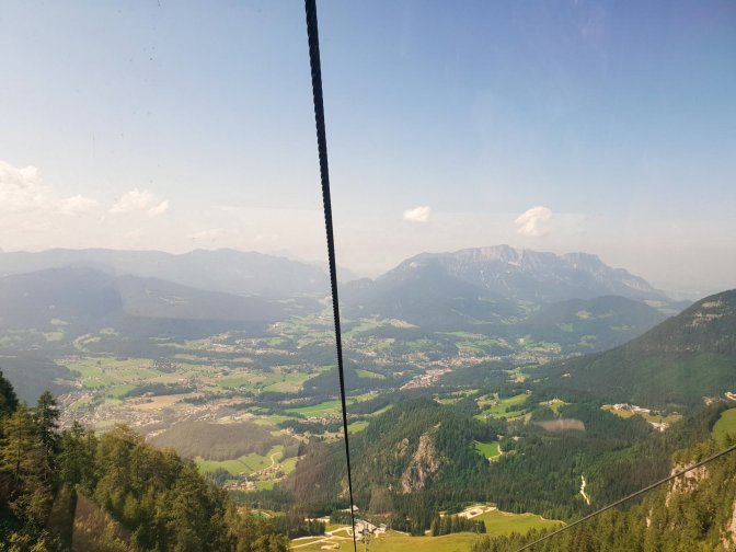
But first, I had a cable car ride to take. Because in the itsabrewtifulworld by-laws, taking them down is allowed. Section something something something of the by-laws says cable cars down are good for reflection. I remember kicking myself for not taking an updated half selfie. And thinking that I don’t hide the grey these days and I rarely abide by European dress codes anymore. I am not sure I have touched a scarf in more than two years, why do Belgians wear scarves all year round?, and my skinny jeans might as well be museum pieces by now. What an innocent time 2014 was. I was still putting mayo on Belgian frietjes back then. I have degenerated back to American ketchup. But stoofvlees sauce is good too. I wondered whatever happened to those stupid sunglasses. Probably the same as the hundred others that suddenly decided not to turn up. And..
The stupid conversations you have with yourself on a cable car.


What a beautiful hike! This is also my favorite type of walking except for the wet, manure ridden pasture perhaps!
LikeLiked by 1 person
I agree 😊😊 and thank you for reading 🙏
LikeLike
The Northern Checkerspot choosing your hand to rest upon is a real treasure. She reminds me of my Painted Ladies. ☺️
LikeLiked by 1 person
Thank you Suzanne, she hang on for about 100m. Was definitely the highlight 😍
LikeLiked by 1 person
☺️
LikeLike
I am all about covering gray hair …mine😊
Very nice story. Enjoyed!
LikeLiked by 1 person
I will just be satisfied having my hair at this point 😂😂 Thanks, Sophie 😊
LikeLike