
Charlemagne. Father of Europe.
His name still seems to resonate like a whisper in the wind in Belgium’s frontier land between Liege and the German city of Aachen. It is in this region where it is believed Charlemagne was born, although no one knows for sure.
During Charlemagne’s rule in the late 8th and early 9th centuries, Aachen was the imperial capital of Charlemagne’s empire. While his empire spanned most of what is today’s Western Europe, his kingdom, interestingly known as Austrasia, engulfed what is today Belgium and parts of the Netherlands, western Germany, and northern France. Aachen sits almost at the geographical center of his plus-shaped kingdom. Just left of that center is where today’s Belgium, Germany, and the Netherlands meet at a point called Les Trois Bornes or The Three Terminals. This is Charlemagne country, but it is the modern history of this location which is perhaps most interesting.

{Above image courtesy of Wikipedia Commons}
This three-country point really gets its start exactly one millenium after the death of Charlemagne in 814. Europe had just come thru the tumultuous Napoleonic Era, and in the wake of Napoleon’s conquests, it was necessary to re-define the borders of Europe. So from 1814-15, the Congress of Vienna convened to do just that. The land around which today’s Les Trois Bornes exists ended up in the border region between two neighboring kingdoms. The United Kingdom of the Netherlands and the Kingdom of Prussia. However, while most of the border was agreed upon, a dispute arose over a peculiar 1.4-square mile tract of land which lay along the border. This parcel of land contained one unique characteristic. A valuable zinc mine, which was the only one in existence on mainland Europe at the time. To settle the dispute, it was decided that this area would become a neutral territory called Neutral Moresnet, with shared custodianship. So in 1815, the three-country point was where the UK of the Netherlands, Prussia, and Neutral Moresnet converged.
Fifteen years later, the Belgians, sick and tired of the snooty Protestant Dutch telling the Catholic and independent-minded Belgians what to do, gained their independence. So in 1830, the three-country point suddenly became a pseudo four-country point. But you wouldn’t know it by looking at this 1834 map. (Note: Aix-la-Chapelle is the French for Aachen)

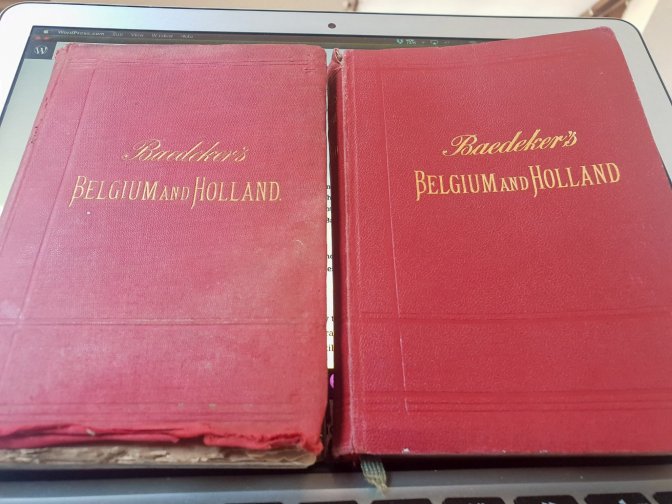
But Neutral Moresnet was there, even mentioned in Baedeker’s 1881 version of the Belgium and Holland travel guide.
…on the Belgian and Prussian frontier is situated the neutral territory of Moresnet… in which lie the valuable zinc mines…
Baedeker’s Belgium and Holland (1881) p.192
Meanwhile, in 1885, Neutral Moresnet’s fate took a turn for the worse when the zinc mine relinquished its final morsel. No longer having a valuable natural resource, Neutral Moresnet had no strong negotiating position to decide it’s future. Unfortunately, this also meant that Baedeker’s needed a little update.
…Neutral Territory of Moresnet… possessed in common by Prussia and Belgium since 1816… with once important zinc-mines.
Baedeker’s Belgium and Holland (1905) p.266
Attempts to rebuild the economy would be repeatedly thwarted by Belgium and Prussia eventually leading to the rise of the Esperanto movement. Esperantists, or speakers of this late 19th-century auxiliary language, wanted to create their own state in the early 1900’s and had chosen Neutral Moresnet as that place. However, as soon as this started to gain traction, some Bosnian Serb had to go and assassinate Archduke Franz Ferdinand in Sarajevo on June 28, 1914. With a Belgian-made pistol nonetheless.
World War I would start a domino of events which would inflict the identity crises to the regions of east Belgium. During WWI, Neutral Moresnet became German. After WWI, Neutral Moresnet was dissolved and became a municipality in Belgium called Kelmis. Then in WWII, the Germans invaded and changed the name to Moresnet. After WWII, it became Kelmis again. Today it is still a region where four languages can be heard: Dutch, French, German, and Esperanto.
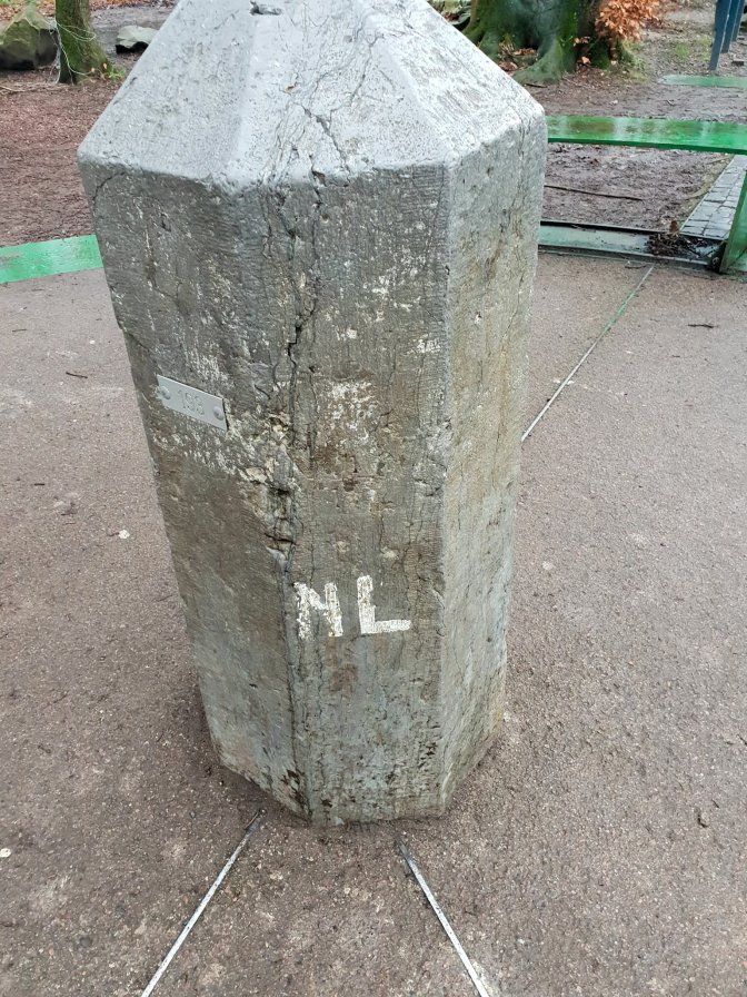
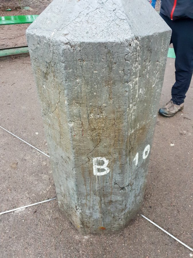

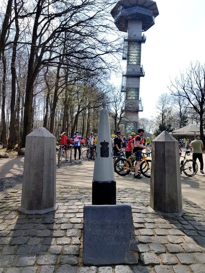
While the borders of eastern Belgium changed dramatically after WWI, the three-country point remained stedfast in the same location. Today it is a popular tourist attraction for families, cyclists, and hikers. Most of the commercialism of this location is contained in the Netherlandish segment with a labyrinth, several cafes and restaurants, and an observation tower. This is all probably celebrating the fact that this site also marks the highest elevation in the Netherlands, the 9th lowest country by average elevation in the world and lowest in Europe according to atlasbig.com. But with all due respect to the Netherlands’ chest pumping, the hiking is much better on the German and Belgian sides.
Hike Details
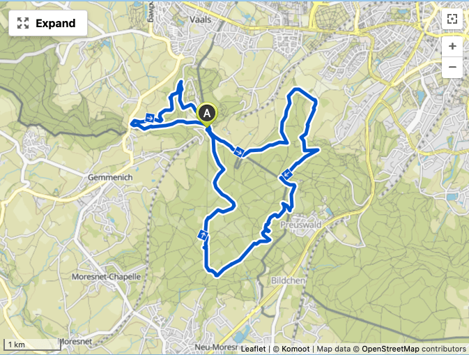
| Starting Point | Les Trois Bornes parking area |
| Ending Point | Roundtrip |
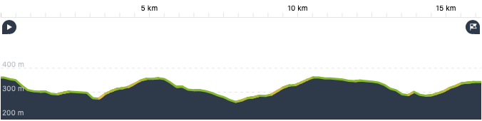
| Distance | 16.2 km |
| My Total/Moving Time | 4h18m / 3h23m |
| Eating Place | Several places at the three-country point. None on the hike itself. Takeaway is possible during COVID. |
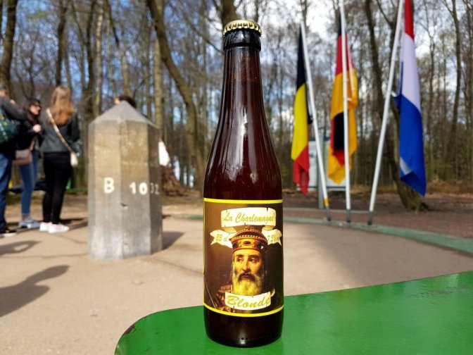
It’s Not Just a Beer, It’s a Journey
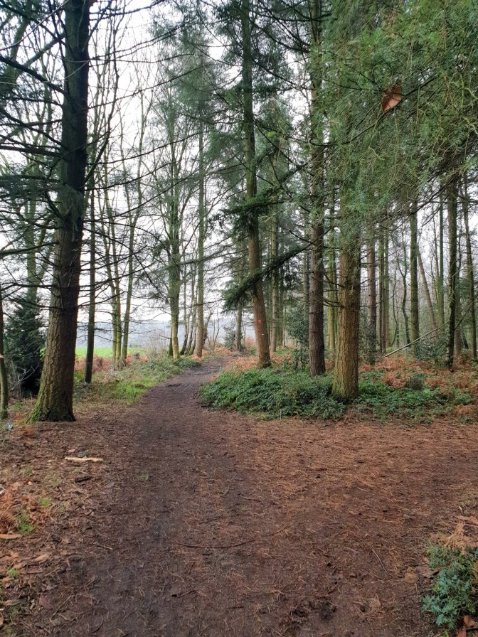
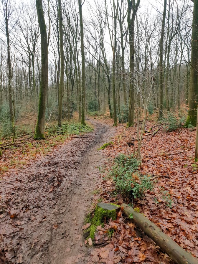
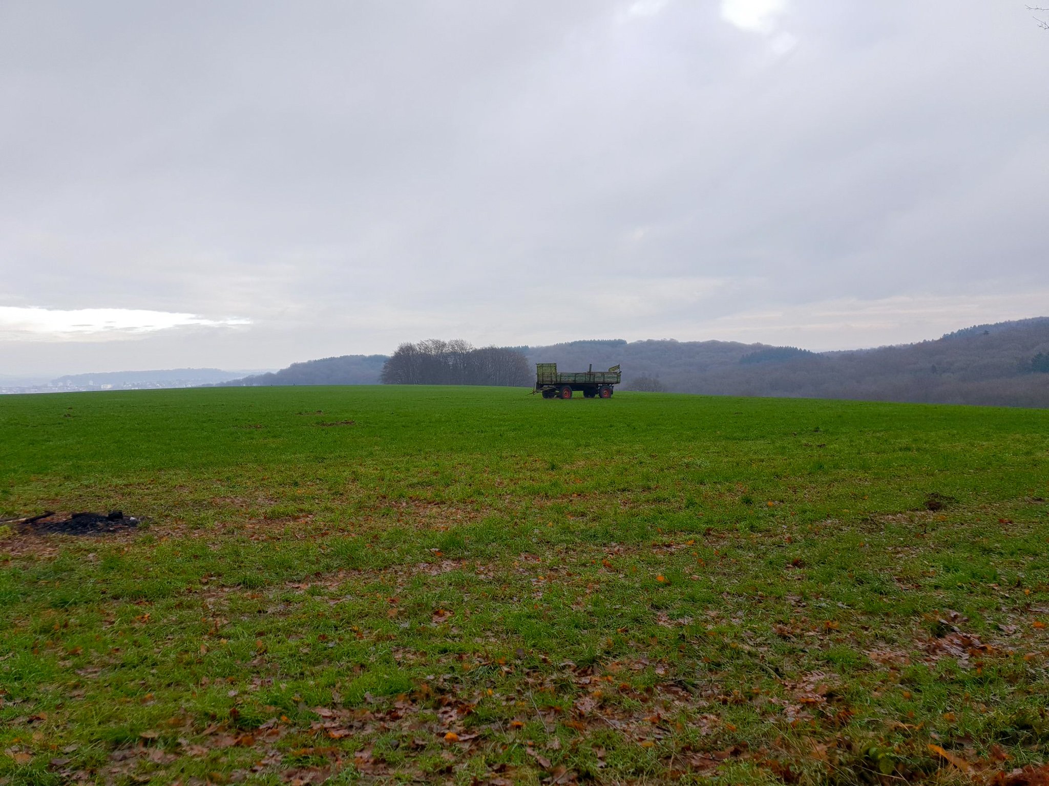
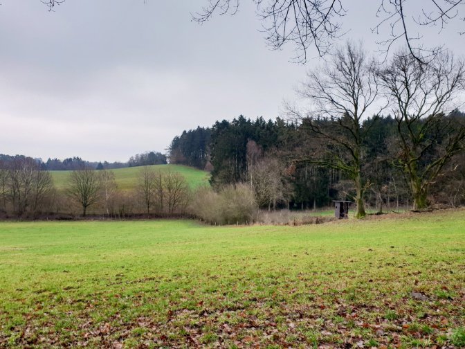
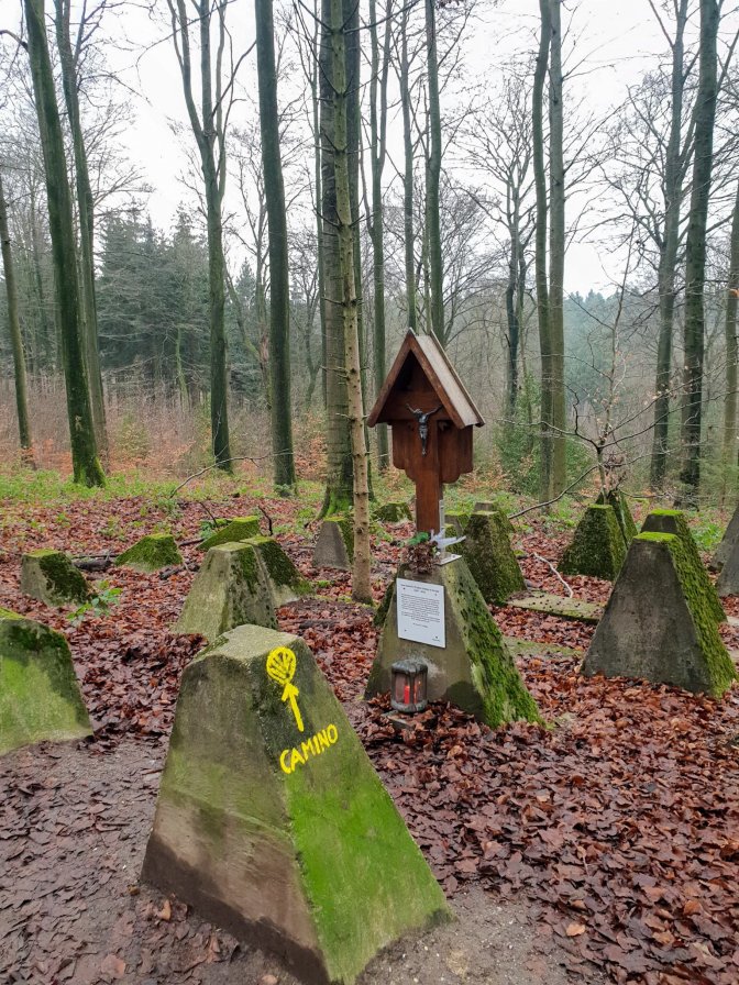
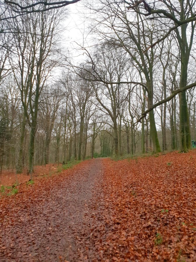
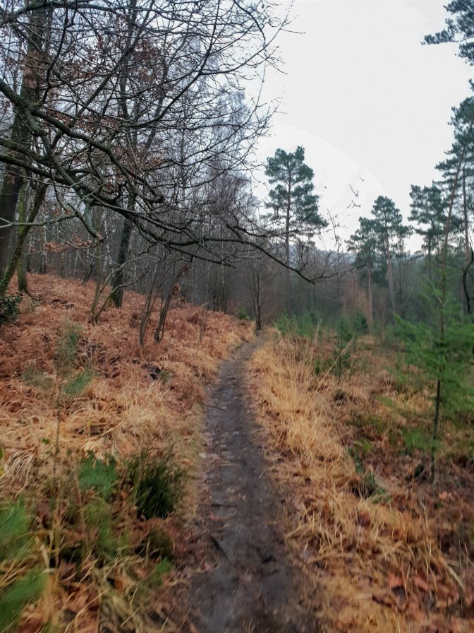
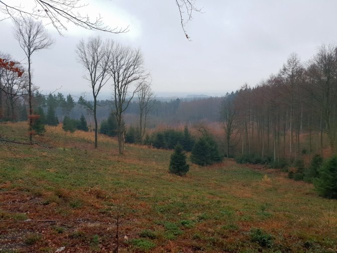
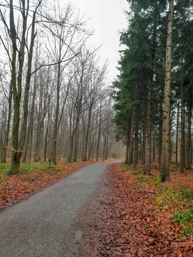
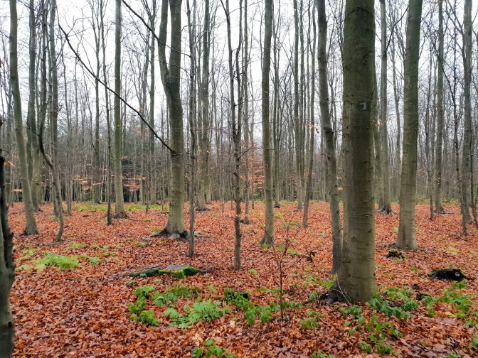
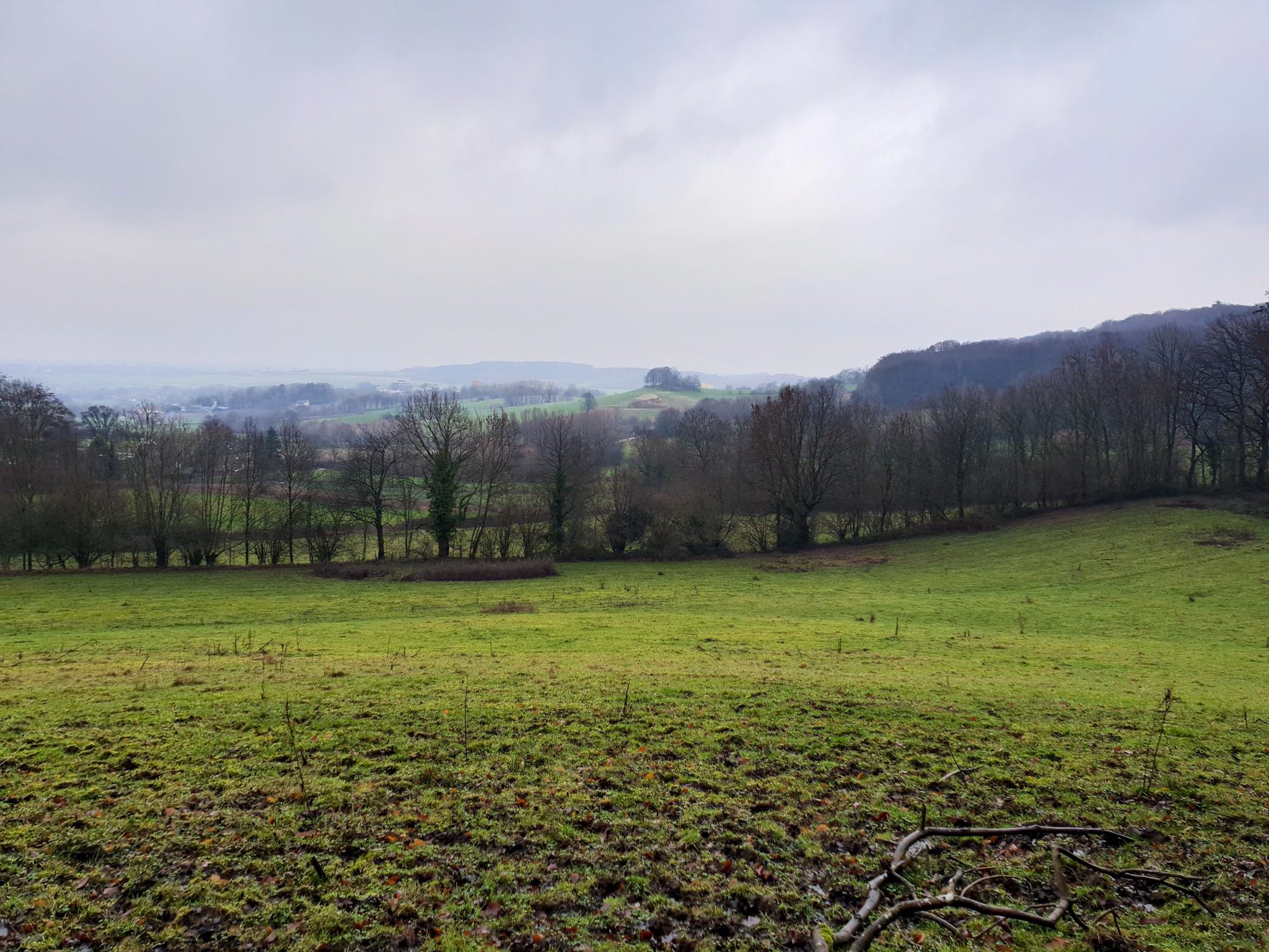
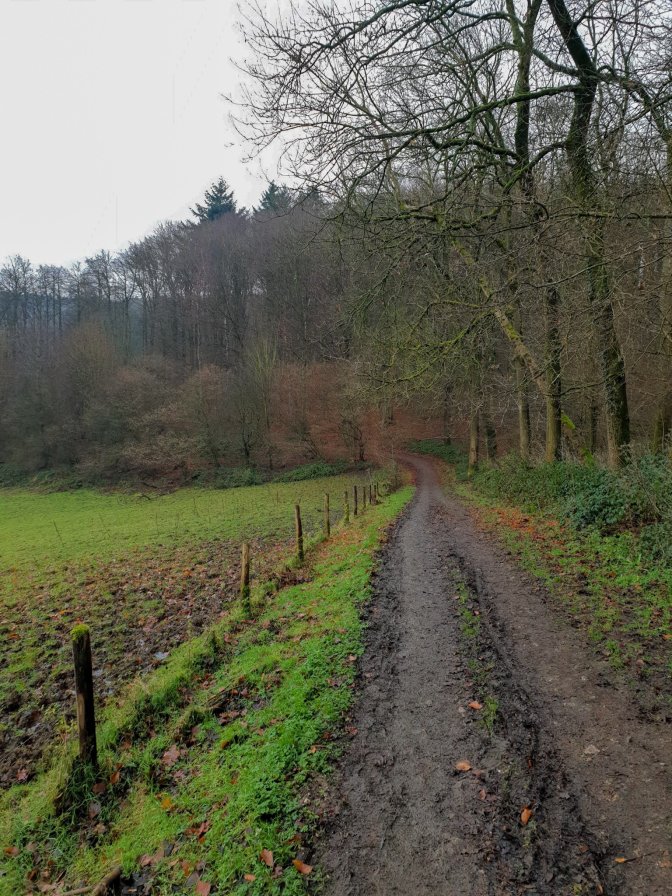
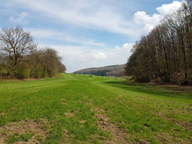
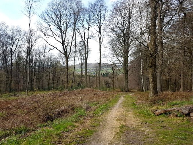
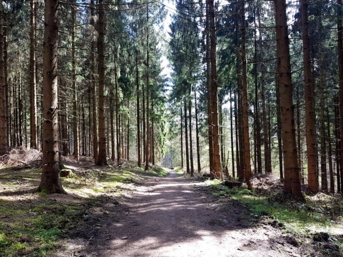
While it is not quite divided equally amongst the three countries, this hike does spend it’s fair share in each one. I have done two variations of this hike. Once in April 2018 and once in December 2020. The map is from the December hike and was my preference of the two routes. All photos are from the 2020 hike except where noted. The hike starts by straddling the border between Germany and Belgium then veers into the Aachener Wald forest on the German side which loops back around and heads into the forest on the Belgian side. This eventually brings you back to the starting point where it continues into the forest behind all of the restaurants.
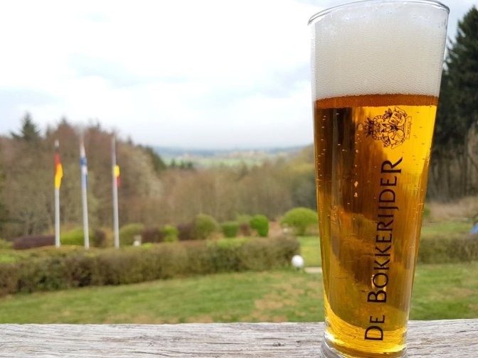
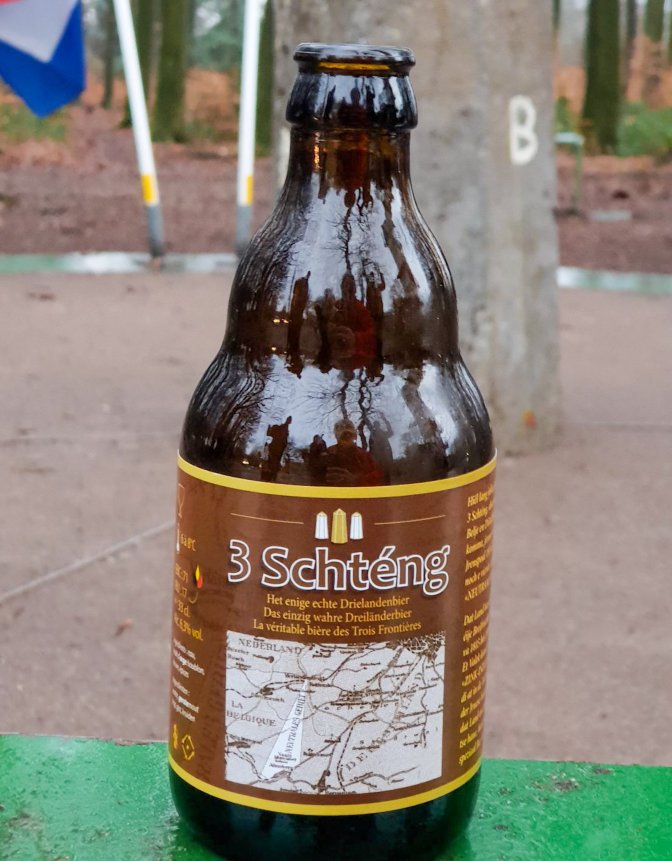
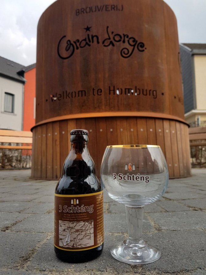
This wouldn’t be a Beer & Hike without some sort of beer connection. Well, luckily, this is Belgium where every culturally significant feature seems to have it’s own dedicated beer. At the observation deck on the Netherlands side just down the road from the three-points, there is a cafe where it is possible to buy the 3 Schténg beer brewed by nearby Brasserie Grain d’Orge in Homburg, Belgium. I have not quite figured out the significance of the term Schténg yet. Google Translate defines it as Luxembourgish meaning sting. The best part about this beer, besides the taste, is that the label on the bottle shows a map of the triangular Neutral Moresnet.
Photographic Journey

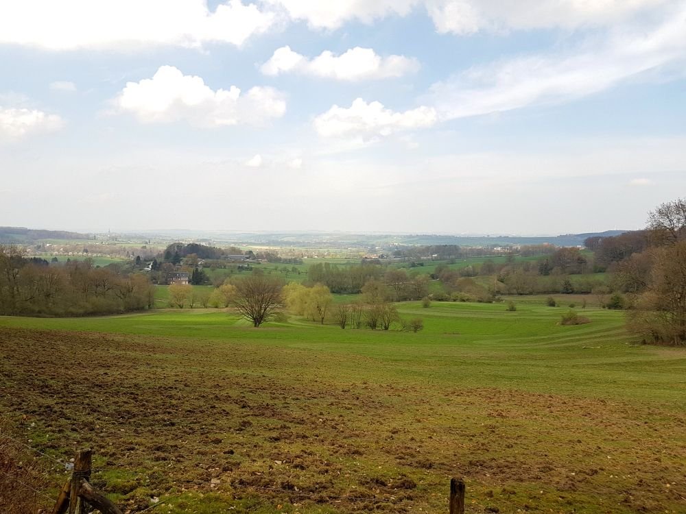
And for effect, a few shots from the April 2018 hike:
Final Words
As I sat on a log sipping the 3 Schténg directly from the bottle looking out over the Belgian landscape, not even knowing at the time that I might have actually been sitting in former Neutral Moresnet, I realized that being December 30, this was going to be my last hike of 2020. There was a sobering impact to this thought. The idea of time passing by and getting older. But the invading shadow which was attempting to seep across the borders of my thoughts like a slow, viscous fog rolling over a valley was interrupted by the familiar fluttering sensation. If ever I needed a blue butterfly moment, to change the suddenly grey-tinted trees back to their winter-resistent green, it was that moment. One need only look back at my blog posts from 2020 to see that this has been an amazing year of inspiration and appreciation. In a year which we understandably define by what we weren’t able to do, I have had the blessing of both good health and an abundance of enriching travel experiences. The evidence of the blue butterfly is irrefutable. Eternal.
I felt my heartrate elevate bringing with it the awakening rush of adrenaline at the thought of all of the potential experiences lying just around the corner in 2021. I know it will not always be easy. Sometimes it feels a bit like Neutral Moresnet. Life comes with a name, a place, but it doesn’t always feel like home. But in everything I am thankful and grateful to be able to put down these experiences in the humble memory bank of this blog. And to anyone reading these words, you have no idea how much I appreciate you. I wish each and everyone of you, your families, and loved ones a Happy New Year and a fantastically amazing 2021.

And a Happy New Year to you, Matthew. And thank you for sharing your brewtiful memories.
LikeLike