
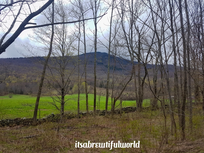
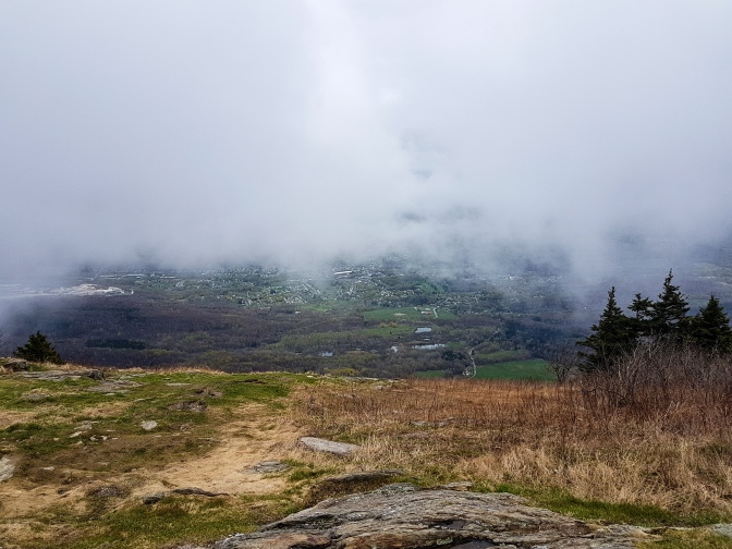
I used to live in Massachusetts a long long time ago before there was a brewtifulworld to hike, bike, and drink. It is a small state in the northeast of the United States which is one-third the size of Belgium, where I live today, with about two-third the population. Which means while Belgium is the 2nd most densely populated country in continental Europe (next to the Netherlands), Massachusetts has it beat by a landslide. But most of the population of Massachusetts is shacked around the Boston metropolitan area on the east coast leaving western Massachusetts to be a place with a lot of small rural colonial-style villages and a lot of nature. During every season but Fall, I would consider the scenery in western Massachusetts to be modestly beautiful. But in the fall, these modest forests and humble mountains with their dense population of sugar maple trees bloom into a blazing panorama of color. Alas, this post will not highlight those colors. Ahem…
But during my time living in Massachusetts, like most of us, I didn’t take advantage of my backyard. Recently, I had an opportunity to re-visit the area and had a free day on my hands. So I googled highest mountain in Massachusetts and I was quite pleased to find that it was just about an hour drive (as are most places in Massachusetts actually) from where I was staying. The mountain’s moniker is Mount Greylock. Not exactly a household name, even in Massachusetts. The reason could be that the mountain sits in the complete opposite corner of the state from Boston.
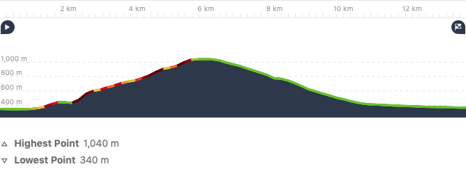
A couple of interesting facts about this humble mountain to put things into perspective. It is officially only a few meters lower in elevation than Mount Snowdon, the tallest mountain in Wales, at 1069 meters. What really matters though is the elevation gain and it is about 100m less than Slieve Donard, the tallest mountain in Northern Ireland. So while it is no towering icon in the hiking world, it isn’t exactly a butt pimple on the Earth either.
So with my favorite hiking partner in the world, my daughter, we set out to achieve the possible… climb Mount Greylock, the unknown sentinel tucked away in the quiet, sleepy corner of Massachusetts near the town of Adams.
The Hike
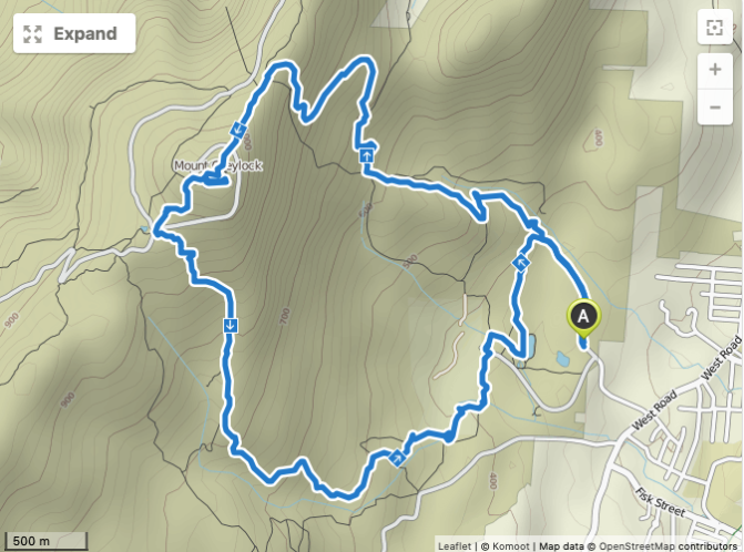
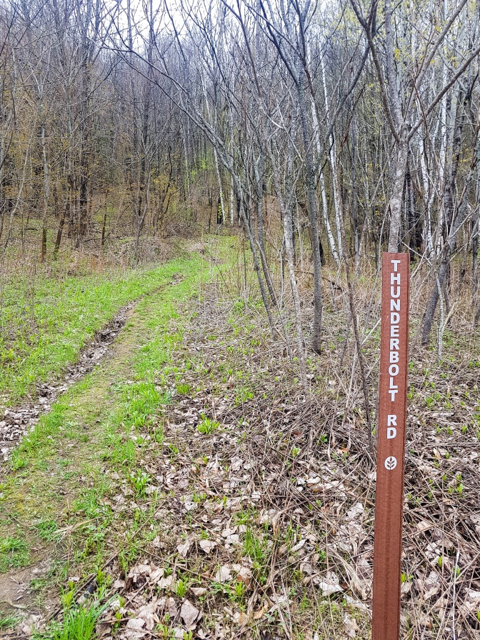
- Starting Point: Thunderbolt Road Trailhead
- Ending Point: Thunderbolt Road Trailhead
- Time: 3:13
- Distance: 13.6km
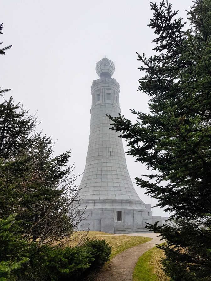
- Eating Point: None, but there is the Bascom Lodge at the peak which advertises signs for food. But it appears to only open during the summer.
The route takes the Thunderbolt Road trail to the Bellows Pipe Trail to the summit and then loops back via the Gould Trail. If you avoid the Bellows Pipe Trail and take the Thunderbolt trail all the way, you can probably save one kilometer or so.
The reservation map is HERE.
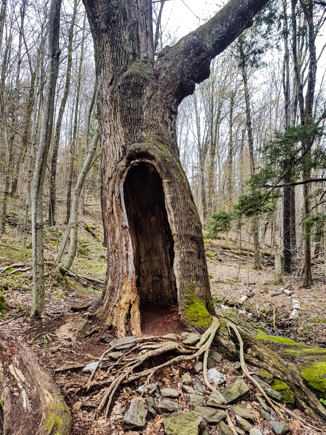
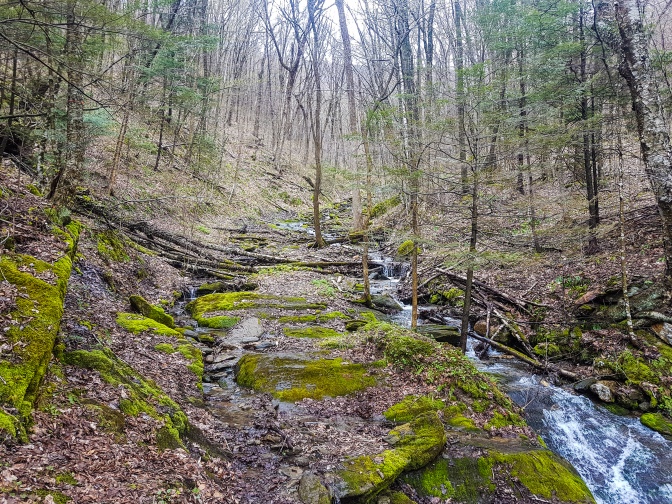
The Photographic Journey

Final Thoughts
Mount Greylock was a welcome practice for what I hope will be a summer of more hiking in Switzerland. I have been longing to get back out on the trails after a rather sedentary winter and this hike did not disappoint. No, it is not a big name like other mountains I have featured on my blog, but I suspect that Mount Greylock prefers to remain under the radar and reward only those honorable few who seek it out in this tiny corner of the world. Conspicuously absent from this post, particularly the featured image, is a beer picture. There is a very decent beer bottle shop right next the fire station on Columbia St. in Adams called Val’s Pipe & Package Store. Naturally I stopped, picked up a selection of six individual American craft beers, any of which would have made a suitable photo and proceeded to forget to bring one in my backpack, only remembering after one kilometer up the trail. One of those six bottles of beer did manage to make it to Helsingborg, Sweden where I traveled immediately after my visit to the USA. So I please ask the reader to imagine any one of the above scenic views in the background of this photo.


Even without those panorama off colors the pictures are great and of course great post!
LikeLiked by 1 person